1943 Map of Carrabelle
USGS Topo · Published 1968About this map
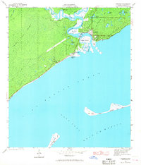
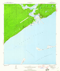
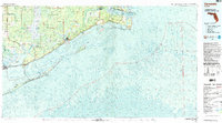
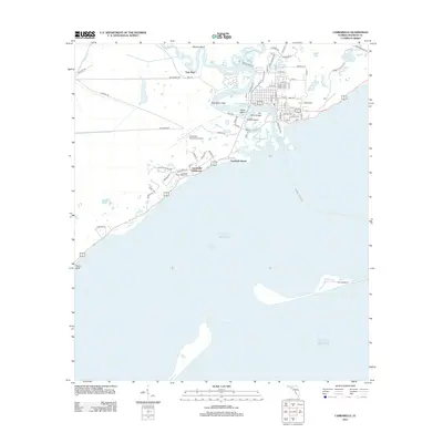
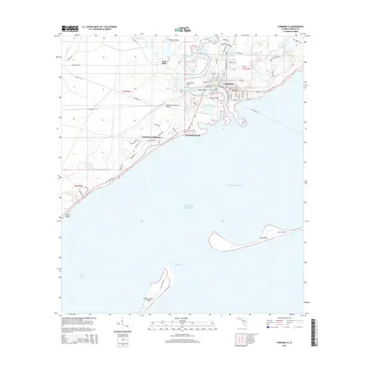
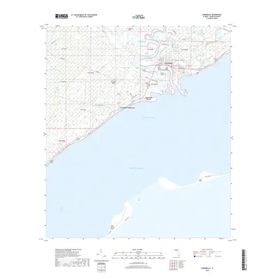
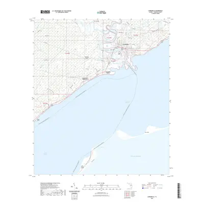
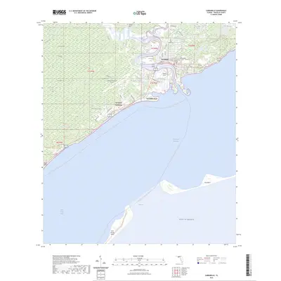
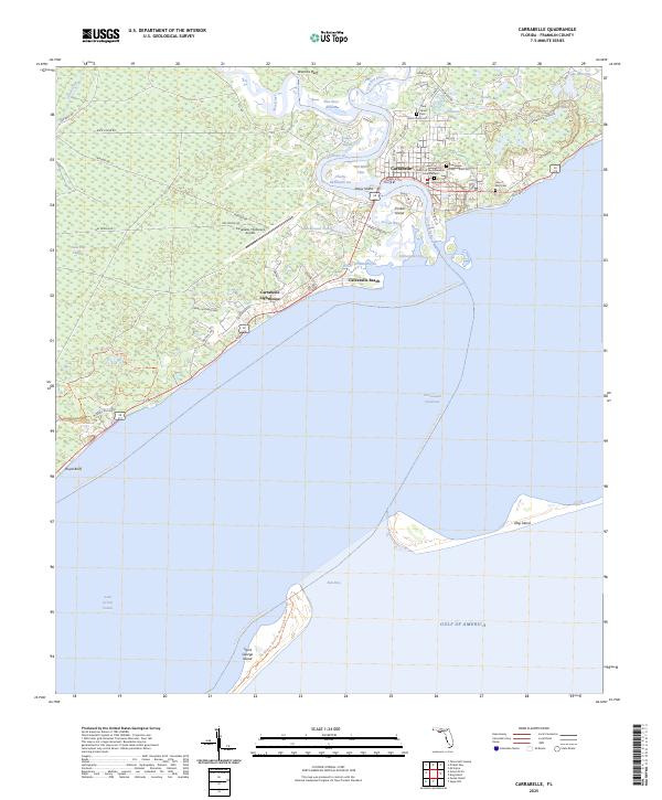
Tates Hell Swamp dominates the western interior of this coastal Florida landscape, a dense wetland environment bordering the winding courses of the New River and Crooked River. The town of Carrabelle serves as the central hub, situated where the Carrabelle River empties into St George Sound. The maritime character of the region is evident in the presence of the Carrabelle Lighthouse and several named coastal features like Timber Island and the Gulf of Mexico shoreline. Transport and industry are represented by the Seaboard railroad line and a prominent Landing Strip cutting through the swamp. Smaller settlements and family-named locations such as Yent Place, Davis, and Carrabelle Beach provide specific points of interest for local history, while the barrier islands of Dog Island and St George Island define the southern boundary of the sound.
Find a feature on this map
31 named features on this map. Tap any name to fly to it.
Don’t see what you’re looking for? This feature index may not catch every label — zoom into the map to look around manually.
Map Details
Editions of this 1943 Carrabelle Map
This is the sole edition of this map. No revisions or reprints were ever made.
Historical Maps of Carrabelle Through Time
10 maps found
1943 Carrabelle
Franklin County, FL
1944 Carrabelle
Franklin County, FL
1978 Carrabelle
Franklin County, FL

1981 Carrabelle
Franklin County, FL
2012 Carrabelle
Franklin County, FL
2015 Carrabelle
Franklin County, FL
2018 Carrabelle
Franklin County, FL
2021 Carrabelle
Franklin County, FL
2024 Carrabelle
Franklin County, FL
2025 Carrabelle
Franklin County, FL