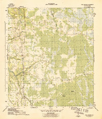
1945 Map of Fort Gadsden
USGS Topo · Published 1945About this map
Fort Gadsden and its surrounding wetlands are the focus of this 1943 topographical survey, published by the War Department at the end of World War II. The landscape is dominated by the dense hydrology of Tates Hell Swamp, where numerous drainages like Whisky George Creek and Fort Gadsden Creek feed into the Apalachicola River. Evidence of the region's timber heritage is visible through the Apalachicola Northern railroad line and remnants of the Old Logging RR that once penetrated the deep swamps. The settlement pattern reflects an era of transition, with isolated resource-extraction outposts such as Walker Camp and Padget Camp marked as abandoned, while Buck Siding remains a waypoint on the rail line. To the west, Missouri Landing serves as a point of access to the river across from Forbes Island.
Find a feature on this map
20 named features on this map. Tap any name to fly to it.
Don’t see what you’re looking for? This feature index may not catch every label — zoom into the map to look around manually.
Map Details
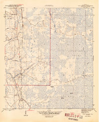
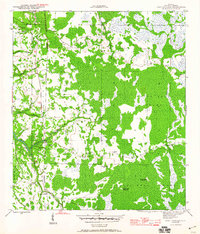
Editions of this 1945 Fort Gadsden Map
4 editions found
Other maps of this area

1943 · Jackson River
USGS Topo · 1:24,000

1944 · Green Point
USGS Topo · 1:31,680

1944 · Forbes Island
USGS Topo · 1:24,000

1945 · Forbes Island
USGS Topo · 1:31,680

1945 · Kennedy Creek
USGS Topo · 1:31,680

1945 · Tates Hell Swamp
USGS Topo · 1:31,680

1945 · Beverly
USGS Topo · 1:31,680

1945 · Jackson River
USGS Topo · 1:31,680

1945 · Fort Gadsden
USGS Topo · 1:31,680

1946 · Sumatra
USGS Topo · 1:31,680