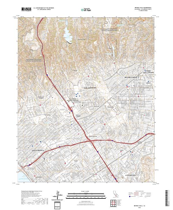
2022 Map of Beverly Hills
USGS Topo · Published 2022About this map
The Santa Monica Mountains National Recreation Area dominates the northern landscape of this map, where high ridges like Briarcrest Peak overlook the canyons of Bel Air and Beverly Glen. The topography transitions sharply from these steep slopes into the urban density of the Los Angeles Basin, marked by major infrastructure such as the Stone Canyon Reservoir and Upper Franklin Canyon Reservoir. The central portion of the sheet is a dense hub of institutional and commercial centers, anchored by the Univ of California-Los Angeles campus and the neighboring Westwood Village.
Find a feature on this map
434 named features on this map. Tap any name to fly to it.
Don’t see what you’re looking for? This feature index may not catch every label — zoom into the map to look around manually.
Map Details
Editions of this 2022 Beverly Hills Map
This is the sole edition of this map. No revisions or reprints were ever made.
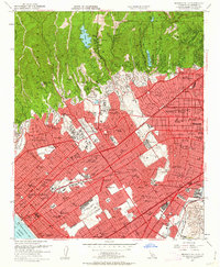
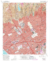
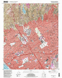
Historical Maps of Palms Through Time
4 maps found