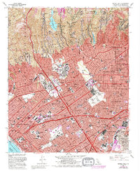
1966 Map of Beverly Hills
USGS Topo · Published 1994About this map
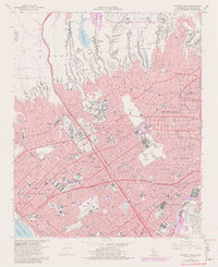
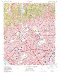
The Univ of California at Los Angeles campus and the sprawling Veterans Administration Center anchor the central portion of this mid-century survey, illustrating the significant institutional and educational growth in West Los Angeles. To the north, the foothills of the Santa Monica Mountains are marked by exclusive residential enclaves like Bel Air and Beverly Glen, centered around the Stone Canyon Res. The map documents the high-density development of Century City and the prestigious Beverly Hills blocks, where the Los Angeles Country Club provides a green buffer against the expanding grid. To the south and west, the landscape transitions from the industry of Oil Wells near Culver City to the coastal recreation of the Santa Monica Pier and the residential neighborhoods of Mar Vista and Palms, all connected by the rising prominence of the San Diego Freeway.
Find a feature on this map
105 named features on this map. Tap any name to fly to it.
Don’t see what you’re looking for? This feature index may not catch every label — zoom into the map to look around manually.
Map Details
Editions of this 1966 Beverly Hills Map
6 editions found
Other maps of this area

1894 · Los Angeles
USGS Topo · 1:62,500

1896 · Redondo
USGS Topo · 1:62,500

1896 · Santa Monica
USGS Topo · 1:62,500

1898 · Santa Monica
USGS Topo · 1:62,500

1900 · Los Angeles
USGS Topo · 1:62,500

1901 · Southern California Sheet No. 1
USGS Topo · 1:250,000

1902 · Santa Monica
USGS Topo · 1:62,500

1903 · Calabasas
USGS Topo · 1:62,500

1903 · Camulos
USGS Topo · 1:125,000

1904 · Southern California Sheet No. 1
USGS Topo · 1:250,000