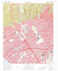
1966 Map of Beverly Hills
USGS Topo · Published 1975About this map
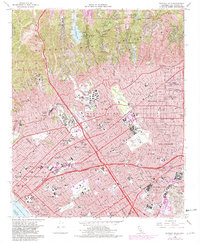
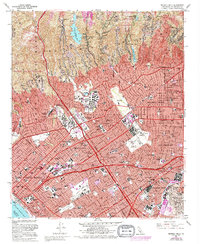
The southern slopes of the Santa Monica Mountains meet the expanding urban sprawl of West Los Angeles in this mid-1960s study, revised with 1972 aerial data. The landscape is defined by the sharp contrast between the deeply incised canyons of Bel Air and Brentwood and the grid of the Los Angeles basin. Academic and institutional footprints are significant, featuring the expansive campus of the Univ of California at Los Angeles, Mount St Marys College, and the sprawling grounds of the US Veterans Cemetery and adjacent Soldiers Home.
Find a feature on this map
127 named features on this map. Tap any name to fly to it.
Don’t see what you’re looking for? This feature index may not catch every label — zoom into the map to look around manually.
Map Details
Editions of this 1966 Beverly Hills Map
6 editions found
Other maps of this area

1894 · Los Angeles
USGS Topo · 1:62,500

1896 · Redondo
USGS Topo · 1:62,500

1896 · Santa Monica
USGS Topo · 1:62,500

1898 · Santa Monica
USGS Topo · 1:62,500

1900 · Los Angeles
USGS Topo · 1:62,500

1901 · Southern California Sheet No. 1
USGS Topo · 1:250,000

1902 · Santa Monica
USGS Topo · 1:62,500

1903 · Calabasas
USGS Topo · 1:62,500

1903 · Camulos
USGS Topo · 1:125,000

1904 · Southern California Sheet No. 1
USGS Topo · 1:250,000