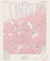
1966 Map of Beverly Hills
USGS Topo · Published 1981About this map
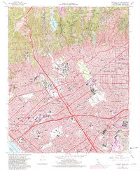
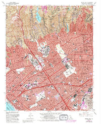
Univ of California at Los Angeles and the extensive grounds of the US Veterans Cemetery (National) anchor this 1960s portrait of West Los Angeles. The map documents an era of significant urban intensification, with the rise of Century City on former backlot land and the expansion of residential neighborhoods into the steep drainages of the Santa Monica Mountains, including Stone Canyon, Benedict Canyon, and Coldwater Canyon.
Find a feature on this map
135 named features on this map. Tap any name to fly to it.
Don’t see what you’re looking for? This feature index may not catch every label — zoom into the map to look around manually.
Map Details
Editions of this 1966 Beverly Hills Map
6 editions found
Other maps of this area

1894 · Los Angeles
USGS Topo · 1:62,500

1896 · Redondo
USGS Topo · 1:62,500

1896 · Santa Monica
USGS Topo · 1:62,500

1898 · Santa Monica
USGS Topo · 1:62,500

1900 · Los Angeles
USGS Topo · 1:62,500

1901 · Southern California Sheet No. 1
USGS Topo · 1:250,000

1902 · Santa Monica
USGS Topo · 1:62,500

1903 · Calabasas
USGS Topo · 1:62,500

1903 · Camulos
USGS Topo · 1:125,000

1904 · Southern California Sheet No. 1
USGS Topo · 1:250,000