Loading...
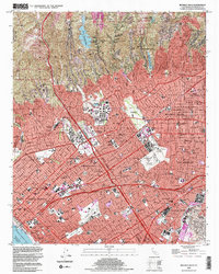
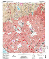
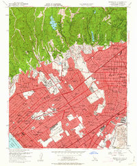
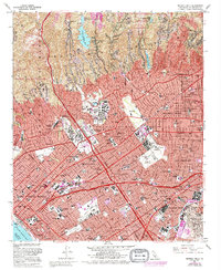
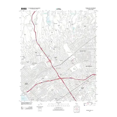
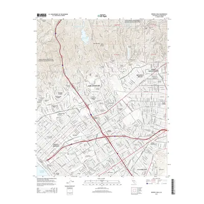
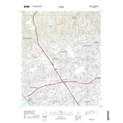
Loading map...1995 Map of Beverly Hills
USGS Topo · Published 1999About this map
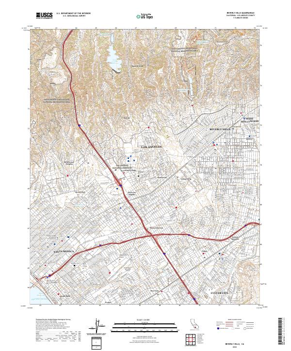
The Santa Monica Mountains National Recreation Area looms over the affluent residential landscape of West Los Angeles in this late-1990s snapshot. The map details the dense urban development of Beverly Hills and Westwood, showcasing institutional anchors like the Univ of California at Los Angeles and the sprawling Los Angeles National Cemetery. The transition from the rugged canyons of Bel Air to the structured street grids of Santa Monica and Culver City illustrates the region's complex topography and land use.
Find a feature on this map
62 named features on this map. Tap any name to fly to it.
Don’t see what you’re looking for? This feature index may not catch every label — zoom into the map to look around manually.
Map Details
Date Portrayed1995
Date Published1999
PublisherU.S. Geological Survey
Map TypeTopographic
Scale1:24,000
Physical Dimensions21.5 x 26.9 inches
Editions of this 1995 Beverly Hills Map
2 editions found
Historical Maps of Los Angeles Through Time
7 maps found
Featured Locations
Source Details
SourceU.S. Geological Survey
CopyrightPublic Domain