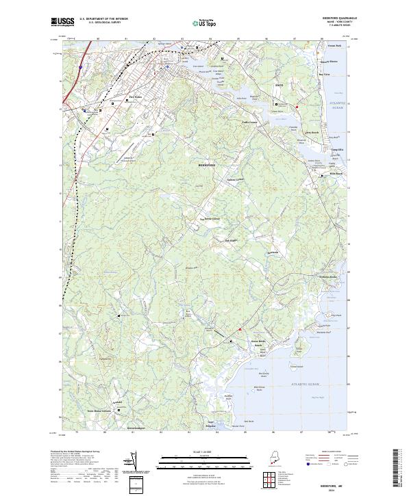
2024 Map of Biddeford
USGS Topo · Published 2024About this map
Biddeford and its coastal surroundings are defined by the winding course of the Saco River as it reaches the Atlantic Ocean. This recent survey details the industrial and residential heart of the city, including the historic complex on Factory Island and the bustling Five Points intersection. Beyond the urban center, the map reveals a network of coastal settlements and family-named corners such as Tattle Corner, Tea Kettle Corner, and Guinea Corner. The extensive reach of the Rachel Carson National Wildlife Refuge dominates the coastline, protecting the marshes and estuaries of the Batson River and Goosefare Brook. Researchers will find significant genealogical value in the numerous plotted burial grounds, including Laurel Hill Cem and Saint Marys Cem, alongside the coastal campus of the University of New England - Biddeford Campus at Jordan Point.
Find a feature on this map
192 named features on this map. Tap any name to fly to it.
Don’t see what you’re looking for? This feature index may not catch every label — zoom into the map to look around manually.
Map Details
Editions of this 2024 Biddeford Map
This is the sole edition of this map. No revisions or reprints were ever made.
Other maps of this area

1891 · Portland
USGS Topo · 1:62,500

1891 · Biddeford
USGS Topo · 1:62,500

1891 · Kennebunk
USGS Topo · 1:62,500

1891 · Buxton
USGS Topo · 1:62,500

1892 · Buxton
USGS Topo · 1:62,500

1893 · Kennebunk
USGS Topo · 1:62,500

1893 · Biddeford
USGS Topo · 1:62,500

1893 · Portland
USGS Topo · 1:62,500

1893 · Buxton
USGS Topo · 1:62,500

1898 · Kennebunk
USGS Topo · 1:62,500