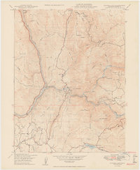
1950 Map of Bidwell Bar
USGS Topo · Published 1950About this map
Bidwell Bar State Park anchors this mid-century look at the dramatic canyon country where the Feather River meets its southern branches. Before the landscape was transformed by modern reservoirs, the area was defined by a complex hydraulic network including the South Fork Canal and Palermo Canal, which navigated the steep ridges through a series of siphons and flumes. The Western Pacific railroad follows the river's path, tracing the narrow corridor past settlements like Bidwell Bar and Miners Ranch.
Find a feature on this map
55 named features on this map. Tap any name to fly to it.
Don’t see what you’re looking for? This feature index may not catch every label — zoom into the map to look around manually.
Map Details
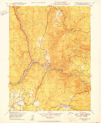
Editions of this 1950 Bidwell Bar Map
2 editions found
Other maps of this area

1888 · Marysville
USGS Topo · 1:125,000

1888 · Smartsville
USGS Topo · 1:125,000

1888 · Bidwell Bar
USGS Topo · 1:125,000

1891 · Bidwell Bar
USGS Topo · 1:125,000

1891 · Chico
USGS Topo · 1:125,000

1891 · Marysville
USGS Topo · 1:125,000

1891 · Smartsville
USGS Topo · 1:125,000

1892 · Smartsville
USGS Topo · 1:125,000

1893 · Chico
USGS Topo · 1:125,000

1893 · Bidwell Bar
USGS Topo · 1:125,000