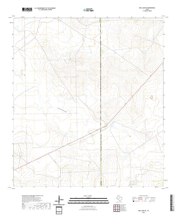
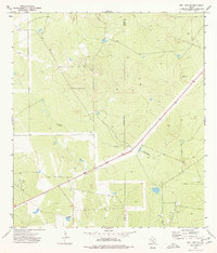
2022 Map of Biel Lake SE
USGS Topo · Published 2022About this map
Arroyo de Charco Escondido winds across this South Texas landscape, carving a drainage path through the brush country of the Rio Grande Plain. The area is defined by its open ranchland and sparse infrastructure, positioned along the administrative boundary of Webb and Duval Counties. Modern transit corridors provide the primary human imprint on the terrain, notably the diagonal path of Highway 59 and the junction with Farm to Market Road 2050. This 2022 survey captures a landscape where traditional land use meets modern transportation, illustrating how local drainage patterns like Arroyo de Charco Escondido dictate the placement of roads and property divisions in this arid region.
Find a feature on this map
4 named features on this map. Tap any name to fly to it.
Don’t see what you’re looking for? This feature index may not catch every label — zoom into the map to look around manually.
Map Details
Editions of this 2022 Biel Lake SE Map
This is the sole edition of this map. No revisions or reprints were ever made.
Other maps of this area

1956 · Freer
USGS Topo · 1:62,500

1956 · Las Mujeres
USGS Topo · 1:62,500

1956 · Laredo
USGS Topo · 1:250,000

1968 · Mills Bennett
USGS Topo · 1:24,000

1968 · Parrilla Creek NW
USGS Topo · 1:24,000

1968 · Mills Bennett NW
USGS Topo · 1:24,000
1971 · Freer NW
USGS Topo · 1:24,000
1971 · Sarnosa Hill
USGS Topo · 1:24,000
1973 · Biel Lake North
USGS Topo · 1:24,000
1974 · Biel Lake SE
USGS Topo · 1:24,000