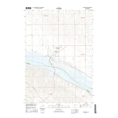
2015 Map of Big Bend Dam
USGS Topo · Published 2015About this map
Fort Thompson sits at a critical junction of the Missouri River on this 2015 survey, marking the transition between two major man-made reservoirs. The massive Big Bend Dam structure serves as the geographic anchor, separating Lake Sharpe to the northwest from the headwaters of Lake Francis Case to the southeast. This landscape is defined by the massive water management projects of the mid-20th century, which altered the flow of the Missouri and inundated the original river bottomlands.
Find a feature on this map
37 named features on this map. Tap any name to fly to it.
Don’t see what you’re looking for? This feature index may not catch every label — zoom into the map to look around manually.
Map Details
Editions of this 2015 Big Bend Dam Map
This is the sole edition of this map. No revisions or reprints were ever made.
Other maps of this area

1935 · Chamberlain
USGS Topo · 1:62,500

1939 · Chamberlain
USGS Topo · 1:62,500

1953 · Huron
USGS Topo · 1:250,000

1954 · Huron
USGS Topo · 1:250,000

1955 · Mitchell
USGS Topo · 1:250,000

1959 · Mitchell
USGS Topo · 1:250,000

1966 · Big Bend Dam NE
USGS Topo · 1:24,000

1966 · Big Bend Dam SE
USGS Topo · 1:24,000

1966 · Stephan
USGS Topo · 1:24,000

1966 · Big Bend Dam
USGS Topo · 1:24,000
Featured Places
- Wilson Township, Crow Creek District
- Victory East Township, SD
- Fort Thompson, Fort Thompson District
- Fort Thompson District, SD
- Grey Hill East Township, Fort Thompson District