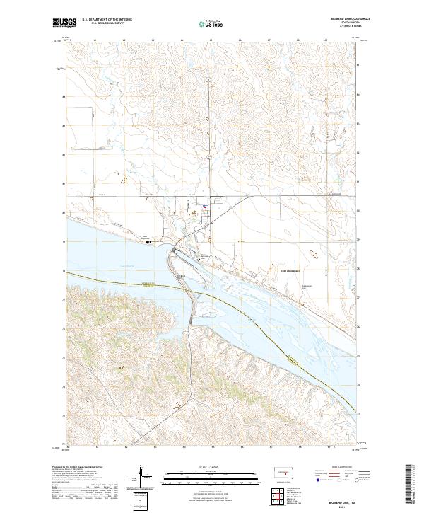
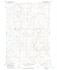
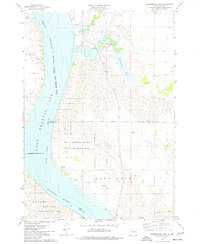
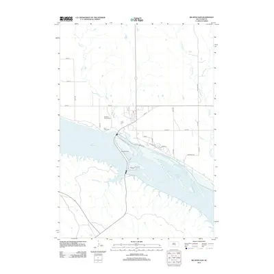
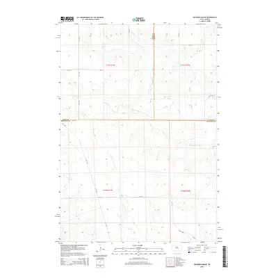
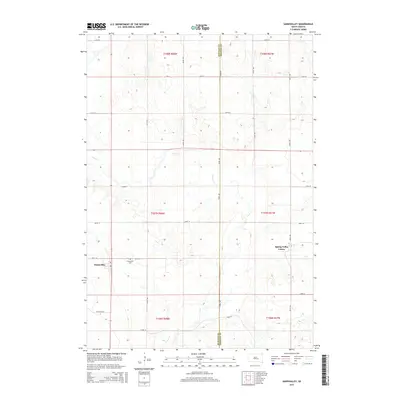
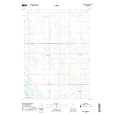
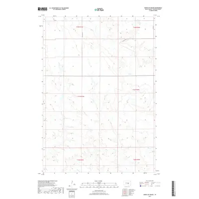
2021 Map of Big Bend Dam
USGS Topo · Published 2021About this map
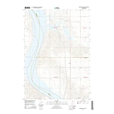
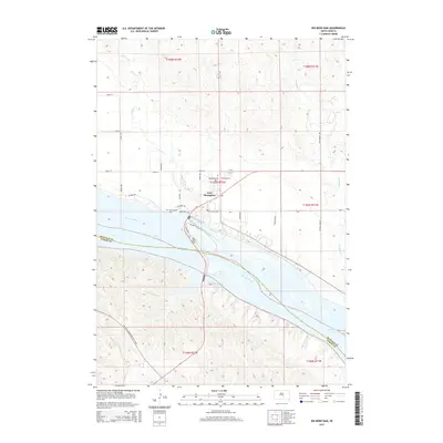
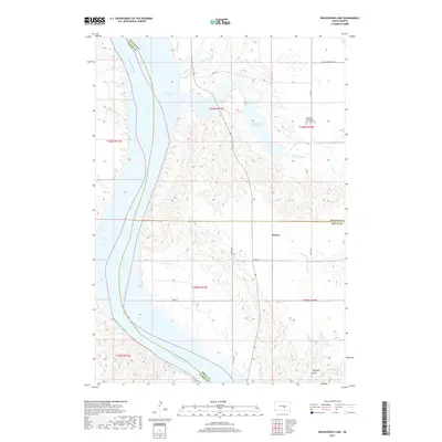
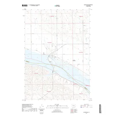
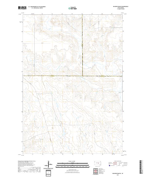
Fort Thompson sits at a critical bend in the Missouri River, where the massive infrastructure of the Big Bend Dam separates two distinct reservoir environments. This modern survey illustrates the dramatic impact of the Pick-Sloan Plan on the landscape, with the impounded waters of Lake Sharpe to the northwest and Lake Francis Case stretching to the southeast. The settlement's layout is defined by its proximity to the dam and a network of Bureau of Indian Affairs routes, including Bia RD 8 and Bia HWY 4. Local history and genealogy are anchored by several notable burial grounds, such as Saint Joseph Cem, Lake View Cem, and the Christ Episcopal Cem. The surrounding terrain is deeply dissected by drainage systems like Soldier Cr, Good Soldier Cr, and Campbell Cr, which carve through the high ground above the river valley.
Find a feature on this map
36 named features on this map. Tap any name to fly to it.
Don’t see what you’re looking for? This feature index may not catch every label — zoom into the map to look around manually.
Map Details
Editions of this 2021 Big Bend Dam Map
This is the sole edition of this map. No revisions or reprints were ever made.
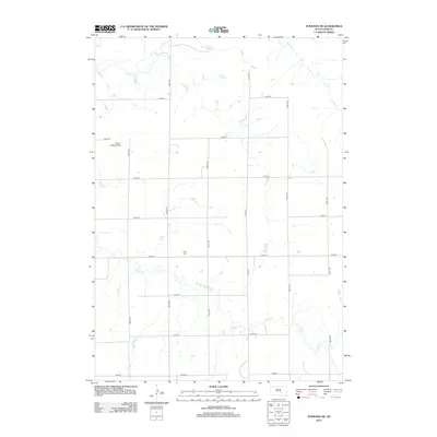
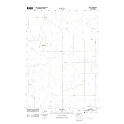
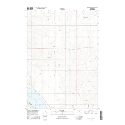
Historical Maps of Grey Hill East Township Through Time
55 maps found
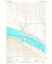
1966 Big Bend Dam
Buffalo County, SD
1966 Big Bend Dam NE
Buffalo County, SD

1966 Big Bend Dam SE
Buffalo County, SD
1973 Dry Run
Buffalo County, SD
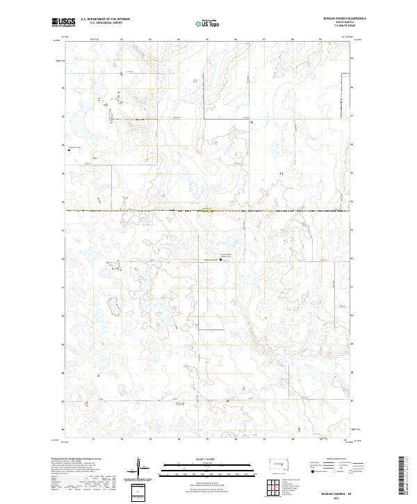
1973 Duncan Church
Buffalo County, SD
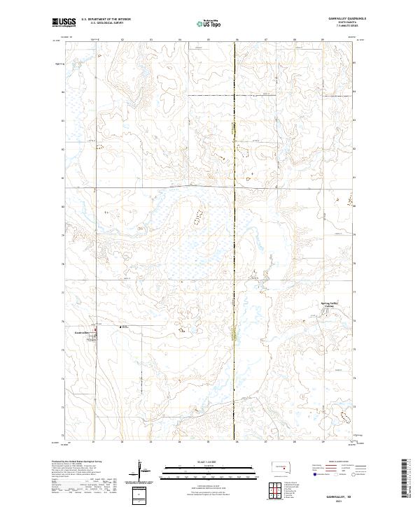
1973 Gannvalley
Buffalo County, SD
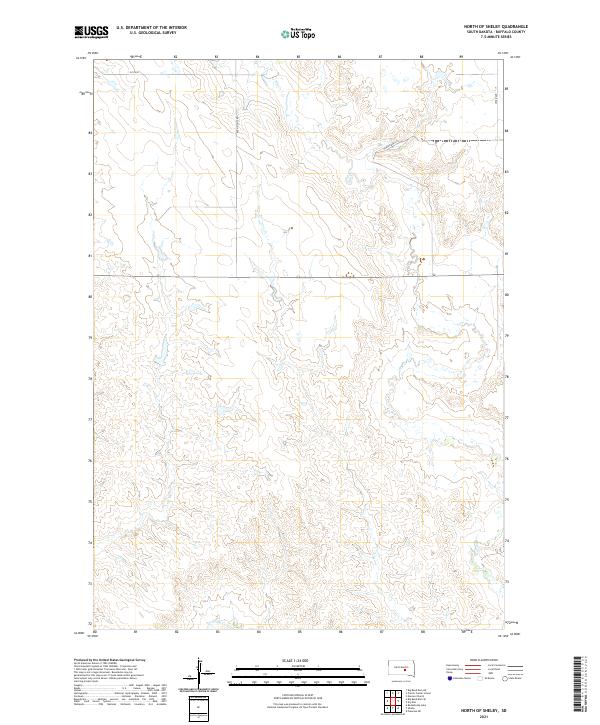
1973 North Of Shelby
Buffalo County, SD
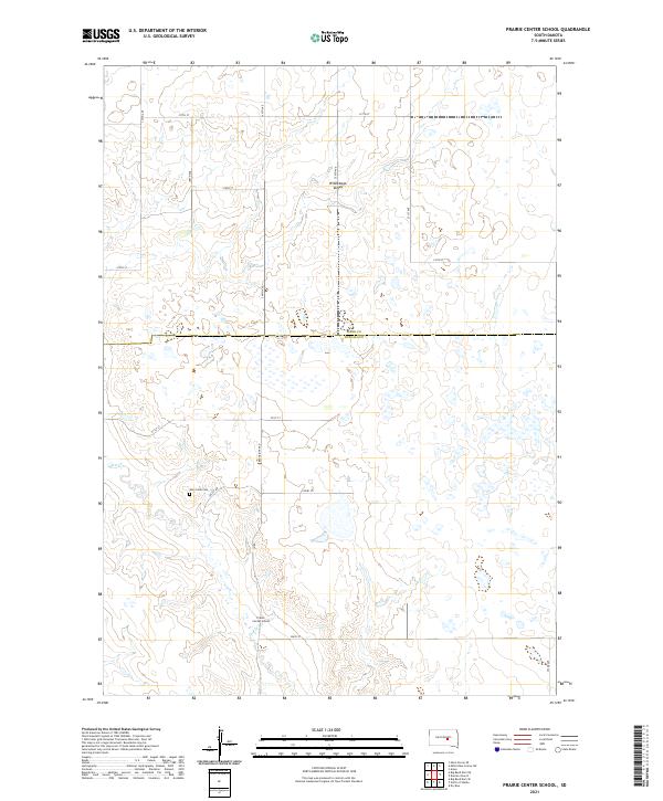
1973 Prairie Center School
Buffalo County, SD
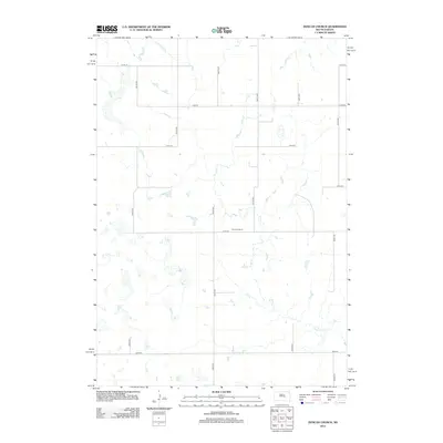
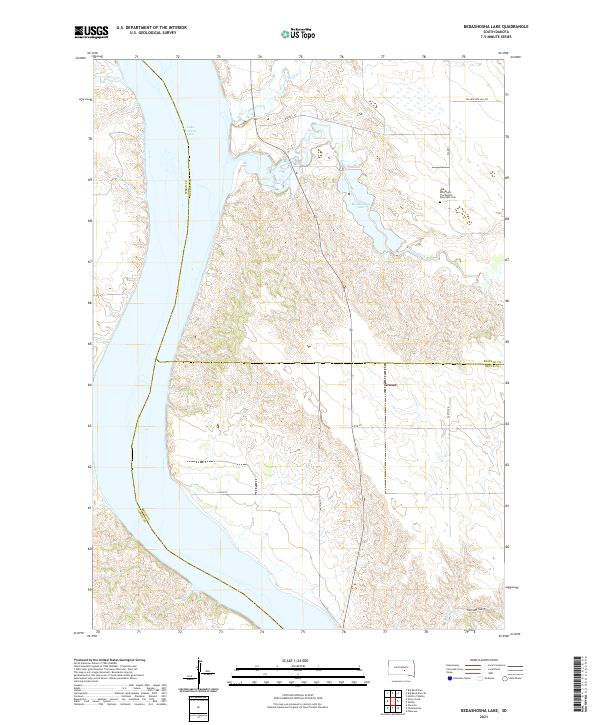
1974 Bedashosha Lake
Buffalo County, SD
1983 Pukwana NE
Buffalo County, SD
1983 Shelby
Buffalo County, SD
2012 Bedashosha Lake
Buffalo County, SD
2012 Big Bend Dam
Buffalo County, SD
2012 Big Bend Dam NE
Buffalo County, SD
2012 Big Bend Dam SE
Buffalo County, SD
2012 Dry Run
Buffalo County, SD
2012 Duncan Church
Buffalo County, SD
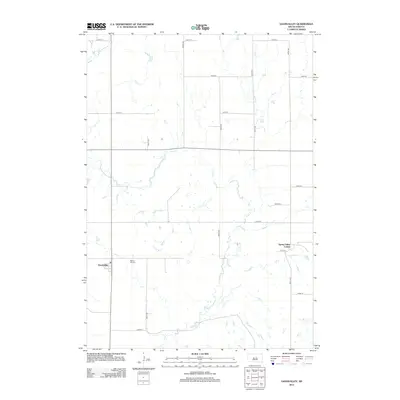
2012 Gannvalley
Buffalo County, SD
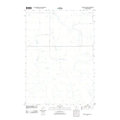
2012 North of Shelby
Buffalo County, SD
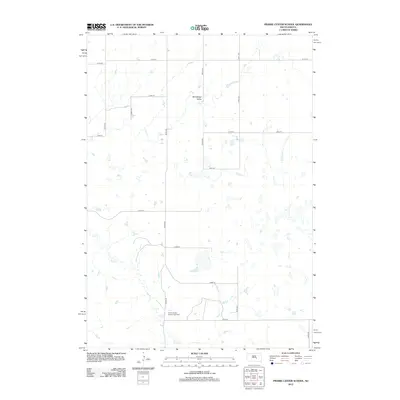
2012 Prairie Center School
Buffalo County, SD
2012 Pukwana NE
Buffalo County, SD
2012 Shelby
Buffalo County, SD
2015 Bedashosha Lake
Buffalo County, SD
2015 Big Bend Dam
Buffalo County, SD
2015 Big Bend Dam NE
Buffalo County, SD
2015 Big Bend Dam SE
Buffalo County, SD
2015 Dry Run
Buffalo County, SD
2015 Duncan Church
Buffalo County, SD
2015 Gannvalley
Buffalo County, SD
2015 North of Shelby
Buffalo County, SD
2015 Prairie Center School
Buffalo County, SD
2015 Pukwana NE
Buffalo County, SD
2015 Shelby
Buffalo County, SD
2017 Bedashosha Lake
Buffalo County, SD
2017 Big Bend Dam
Buffalo County, SD
2017 Big Bend Dam NE
Buffalo County, SD
2017 Big Bend Dam SE
Buffalo County, SD
2017 Dry Run
Buffalo County, SD
2017 Duncan Church
Buffalo County, SD
2017 Gannvalley
Buffalo County, SD
2017 North of Shelby
Buffalo County, SD
2017 Prairie Center School
Buffalo County, SD
2017 Pukwana NE
Buffalo County, SD
2017 Shelby
Buffalo County, SD
2021 Bedashosha Lake
Buffalo County, SD
2021 Big Bend Dam
Buffalo County, SD
2021 Big Bend Dam NE
Buffalo County, SD
2021 Big Bend Dam SE
Buffalo County, SD
2021 Dry Run
Buffalo County, SD
2021 Duncan Church
Buffalo County, SD
2021 Gannvalley
Buffalo County, SD
2021 North of Shelby
Buffalo County, SD
2021 Prairie Center School
Buffalo County, SD
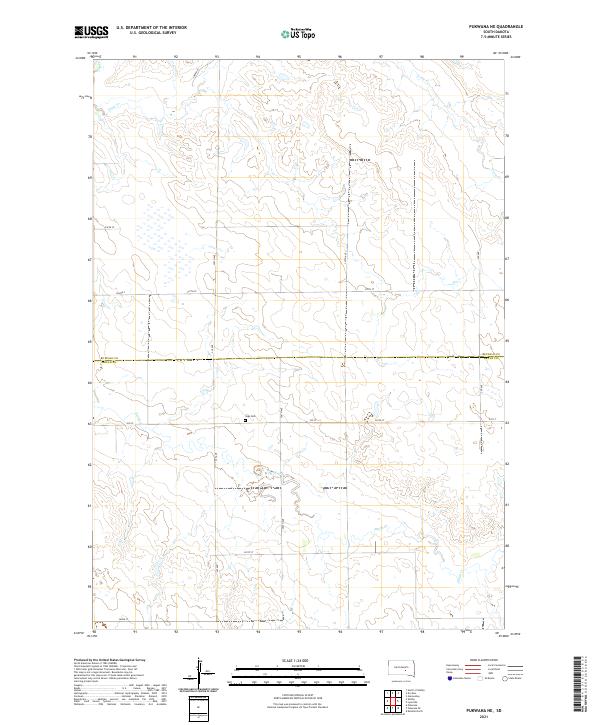
2021 Pukwana NE
Buffalo County, SD
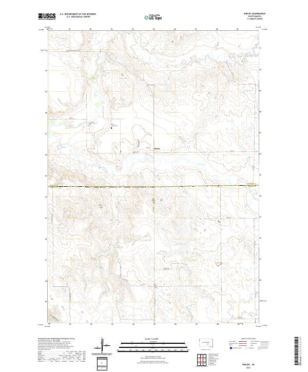
2021 Shelby
Buffalo County, SD
Featured Locations
- Fort Thompson District, SD
- Grey Hill East Township, Fort Thompson District
- Grey Hill West Township, Fort Thompson District
- Victory West Township, Fort Thompson District
- Wilson Township, Crow Creek District