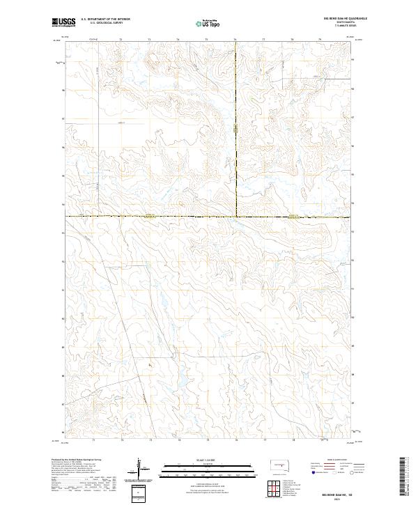
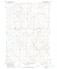
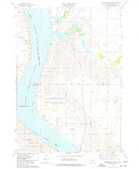
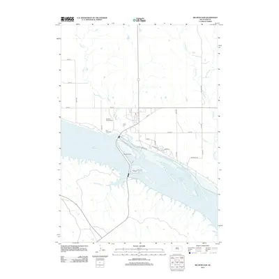
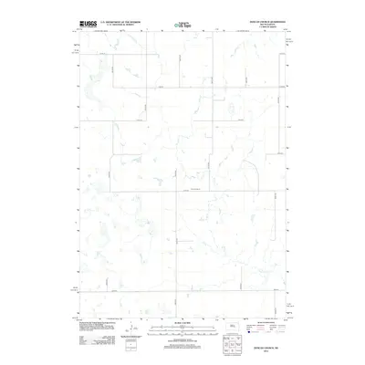
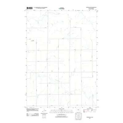
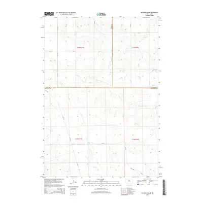
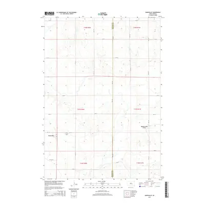
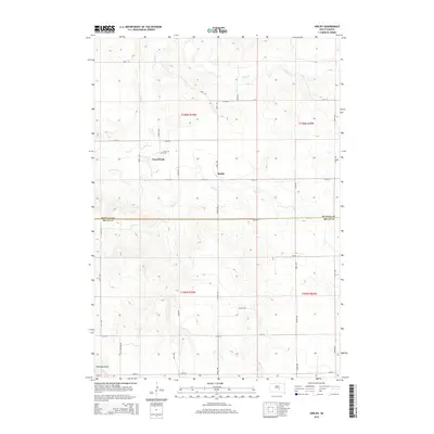
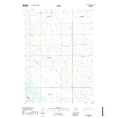
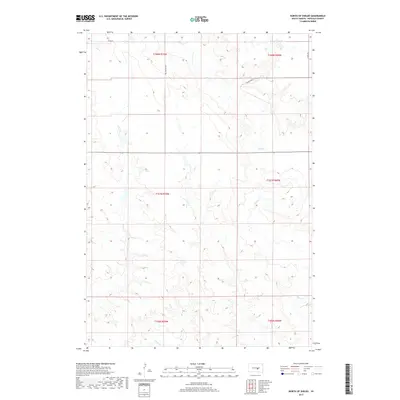
2021 Map of Big Bend Dam NE
USGS Topo · Published 2021About this map
The rolling plains of South Dakota are defined by a network of seasonal drainages including Wolf Cr and the W Fork Elm Cr as they cut through the grassland. This 2021 topographic record reveals the intersection of three counties—Hyde, Buffalo, and Hand—where the sectional grid of the Public Land Survey System meets a sparsely populated landscape. Transport in the region relies on a systematic grid of section-line roads such as 343rd Ave and 218th St, alongside more specific thoroughfares like Lees Blvd. The map highlights the vast drainage basin of Elm Cr and its tributaries, illustrating how the natural topography dictates the placement of rural infrastructure and agricultural boundaries across these high plains.
Find a feature on this map
20 named features on this map. Tap any name to fly to it.
Don’t see what you’re looking for? This feature index may not catch every label — zoom into the map to look around manually.
Map Details
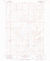
Editions of this 2021 Big Bend Dam NE Map
This is the sole edition of this map. No revisions or reprints were ever made.
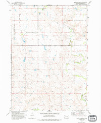
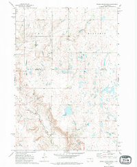
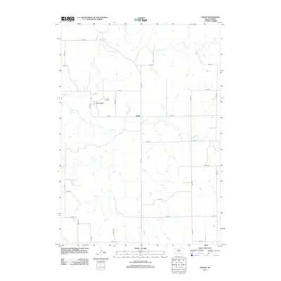
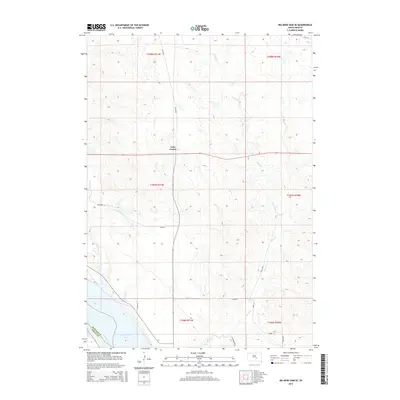
Historical Maps of Grey Hill East Township Through Time
55 maps found
1966 Big Bend Dam
Buffalo County, SD
1966 Big Bend Dam NE
Buffalo County, SD

1966 Big Bend Dam SE
Buffalo County, SD
1973 Dry Run
Buffalo County, SD
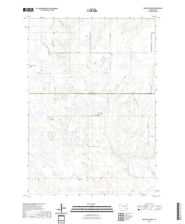
1973 Duncan Church
Buffalo County, SD
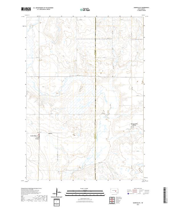
1973 Gannvalley
Buffalo County, SD
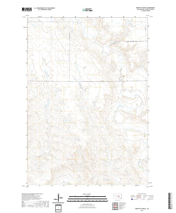
1973 North Of Shelby
Buffalo County, SD
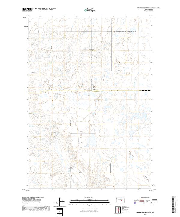
1973 Prairie Center School
Buffalo County, SD
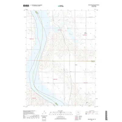
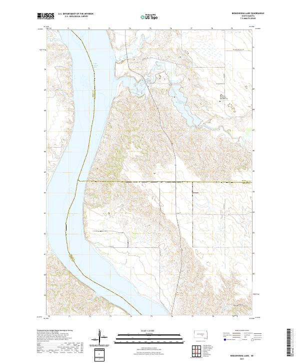
1974 Bedashosha Lake
Buffalo County, SD
1983 Pukwana NE
Buffalo County, SD
1983 Shelby
Buffalo County, SD
2012 Bedashosha Lake
Buffalo County, SD
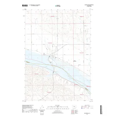
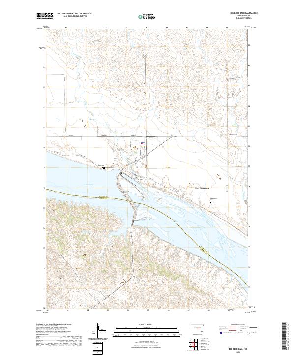
2012 Big Bend Dam
Buffalo County, SD
2012 Big Bend Dam NE
Buffalo County, SD
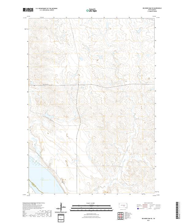
2012 Big Bend Dam SE
Buffalo County, SD
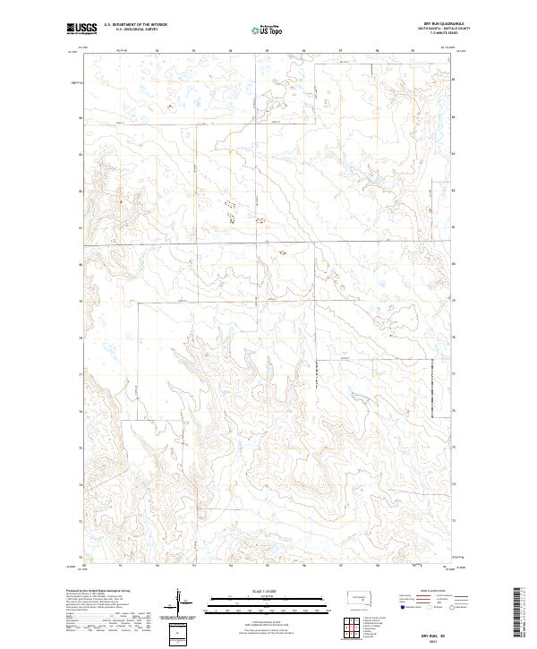
2012 Dry Run
Buffalo County, SD
2012 Duncan Church
Buffalo County, SD
2012 Gannvalley
Buffalo County, SD
2012 North of Shelby
Buffalo County, SD
2012 Prairie Center School
Buffalo County, SD
2012 Pukwana NE
Buffalo County, SD
2012 Shelby
Buffalo County, SD
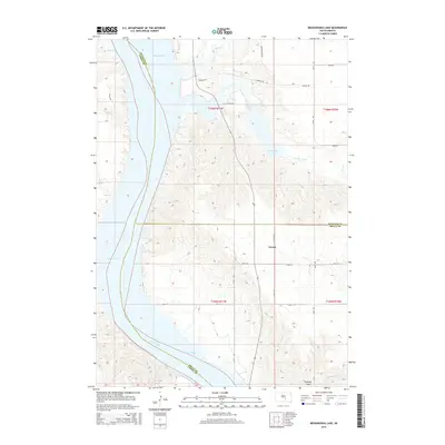
2015 Bedashosha Lake
Buffalo County, SD
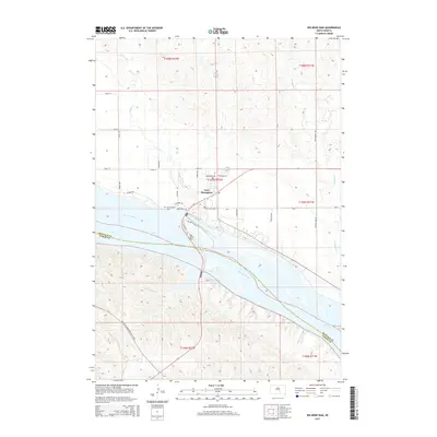
2015 Big Bend Dam
Buffalo County, SD
2015 Big Bend Dam NE
Buffalo County, SD
2015 Big Bend Dam SE
Buffalo County, SD
2015 Dry Run
Buffalo County, SD
2015 Duncan Church
Buffalo County, SD
2015 Gannvalley
Buffalo County, SD
2015 North of Shelby
Buffalo County, SD
2015 Prairie Center School
Buffalo County, SD
2015 Pukwana NE
Buffalo County, SD
2015 Shelby
Buffalo County, SD
2017 Bedashosha Lake
Buffalo County, SD
2017 Big Bend Dam
Buffalo County, SD
2017 Big Bend Dam NE
Buffalo County, SD
2017 Big Bend Dam SE
Buffalo County, SD
2017 Dry Run
Buffalo County, SD
2017 Duncan Church
Buffalo County, SD
2017 Gannvalley
Buffalo County, SD
2017 North of Shelby
Buffalo County, SD
2017 Prairie Center School
Buffalo County, SD
2017 Pukwana NE
Buffalo County, SD
2017 Shelby
Buffalo County, SD
2021 Bedashosha Lake
Buffalo County, SD
2021 Big Bend Dam
Buffalo County, SD
2021 Big Bend Dam NE
Buffalo County, SD
2021 Big Bend Dam SE
Buffalo County, SD
2021 Dry Run
Buffalo County, SD
2021 Duncan Church
Buffalo County, SD
2021 Gannvalley
Buffalo County, SD
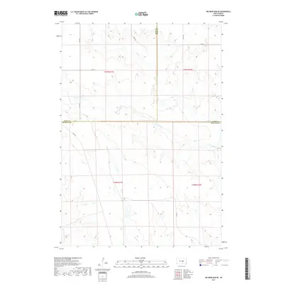
2021 North of Shelby
Buffalo County, SD
2021 Prairie Center School
Buffalo County, SD
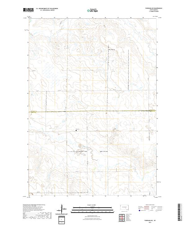
2021 Pukwana NE
Buffalo County, SD
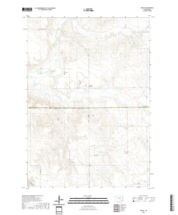
2021 Shelby
Buffalo County, SD
Featured Locations
- Buffalo County, SD
- Fort Thompson District, SD
- Hand County, SD
- Arlington Township, SD
- Grey Hill East Township, Fort Thompson District