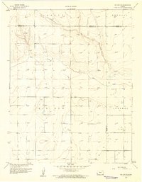
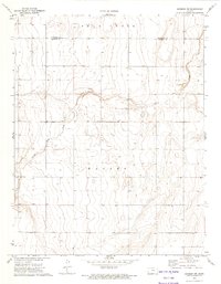
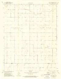
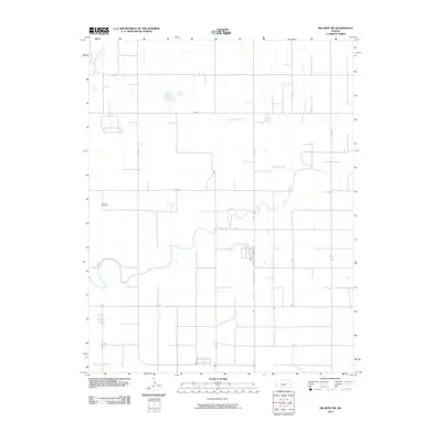
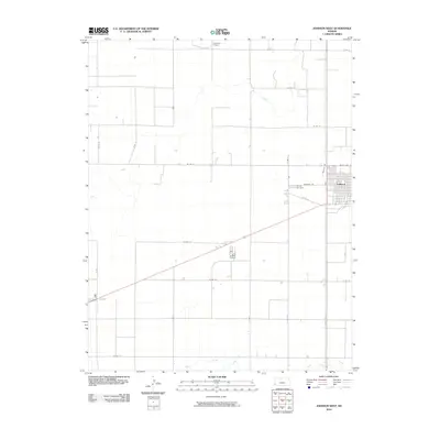
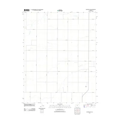
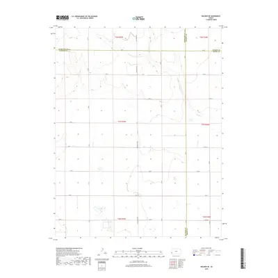
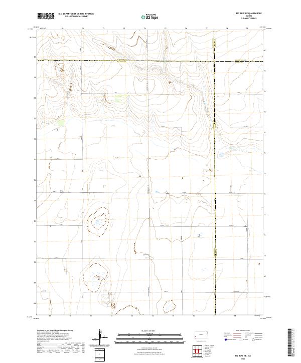
1959 Map of Big Bow NE
USGS Topo · Published 1960About this map
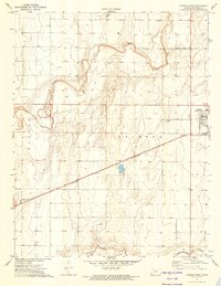
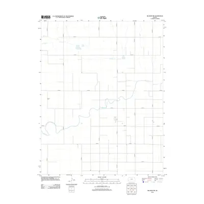
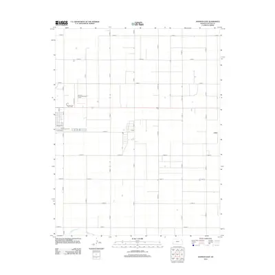
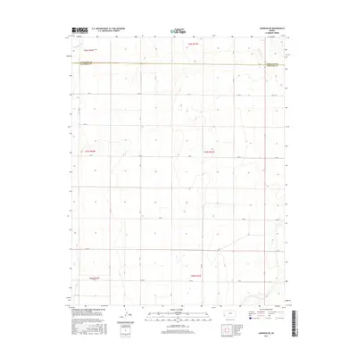
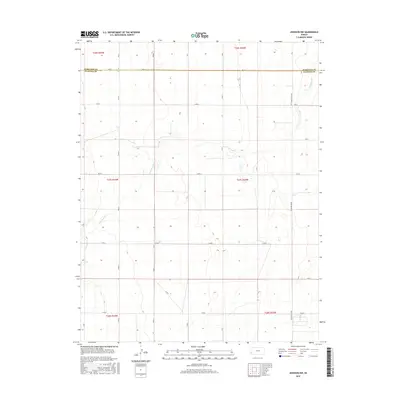
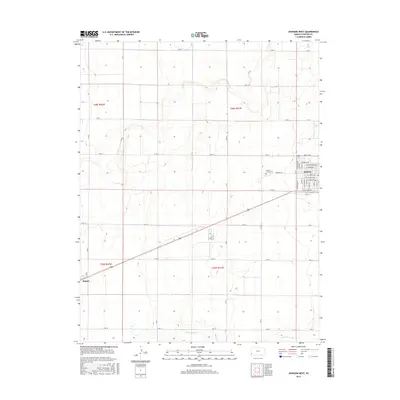
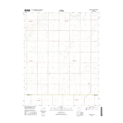
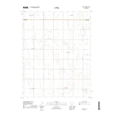
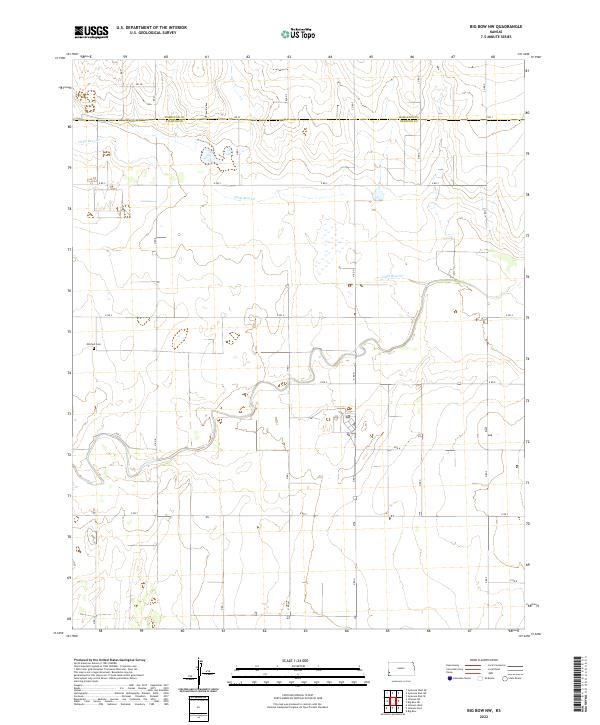
The High Plains of Southwest Kansas appear as a landscape of intensive natural resource extraction and high-desert drainage in this 1959 survey. The terrain is divided into the named townships of Lamont, Kendall, Big Bow, and Sherman, where the High Plains topography is cut by the winding course of Bear Creek and its tributary, Wolf Creek. These seasonal watercourses provide the primary relief in an otherwise flat expanse defined by a dense grid of infrastructure.
Find a feature on this map
11 named features on this map. Tap any name to fly to it.
Don’t see what you’re looking for? This feature index may not catch every label — zoom into the map to look around manually.
Map Details
Editions of this 1959 Big Bow NE Map
This is the sole edition of this map. No revisions or reprints were ever made.
Historical Maps of Sherman Township Through Time
66 maps found
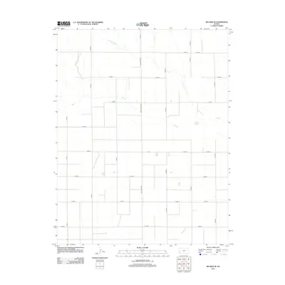
1959 Big Bow NE
Stanton County, KS
1959 Big Bow NW
Stanton County, KS
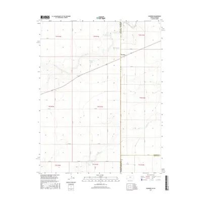
1959 Johnson East
Stanton County, KS
1973 Johnson NE
Stanton County, KS
1973 Johnson NW
Stanton County, KS
1973 Johnson West
Stanton County, KS
1973 Richfield NE
Stanton County, KS
1973 Richfield NW
Stanton County, KS
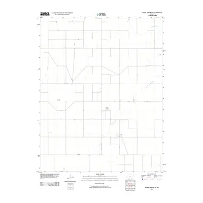
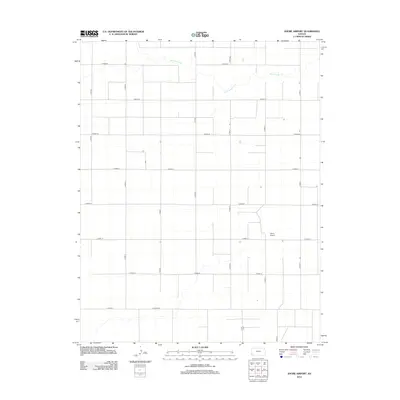
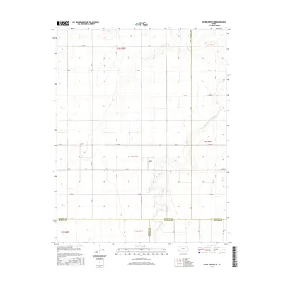
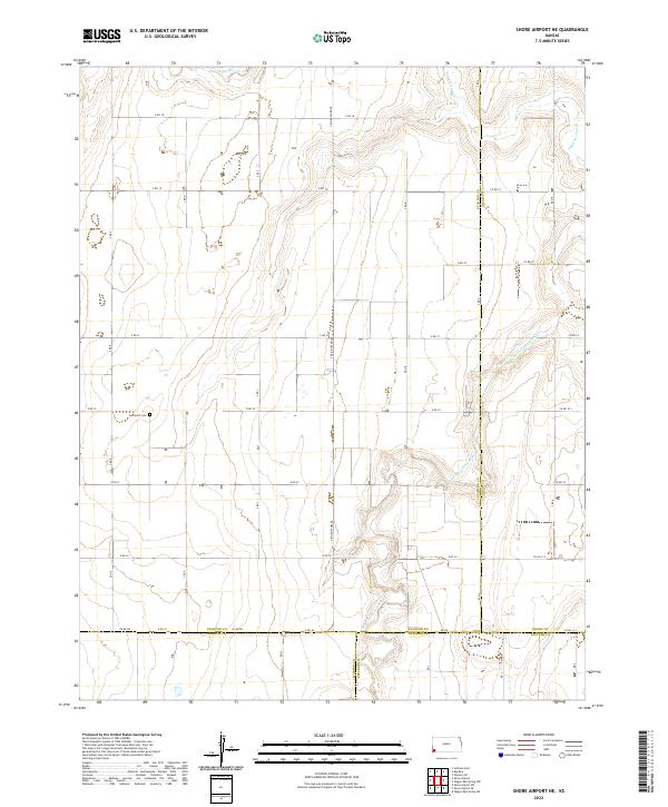
1973 Shore Airport
Stanton County, KS
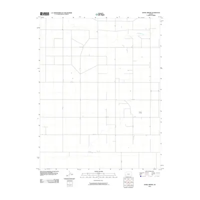
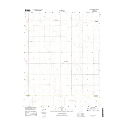
1974 Shore Airport NE
Stanton County, KS
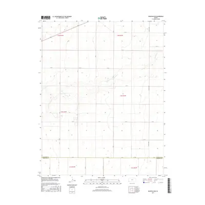
1979 Saunders
Stanton County, KS
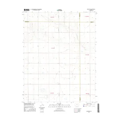
2010 Big Bow NE
Stanton County, KS
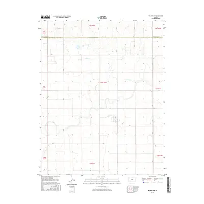
2010 Big Bow NW
Stanton County, KS
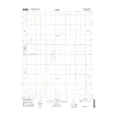
2010 Johnson East
Stanton County, KS
2010 Johnson NE
Stanton County, KS
2010 Johnson NW
Stanton County, KS
2010 Johnson West
Stanton County, KS
2010 Richfield NE
Stanton County, KS
2010 Richfield NW
Stanton County, KS
2010 Saunders
Stanton County, KS
2010 Shore Airport NE
Stanton County, KS
2010 Shore Airport
Stanton County, KS
2012 Big Bow NE
Stanton County, KS
2012 Big Bow NW
Stanton County, KS
2012 Johnson East
Stanton County, KS
2012 Johnson NE
Stanton County, KS
2012 Johnson NW
Stanton County, KS
2012 Johnson West
Stanton County, KS
2012 Richfield NE
Stanton County, KS
2012 Richfield NW
Stanton County, KS
2012 Saunders
Stanton County, KS
2012 Shore Airport NE
Stanton County, KS
2012 Shore Airport
Stanton County, KS
2015 Big Bow NE
Stanton County, KS
2015 Big Bow NW
Stanton County, KS
2015 Johnson East
Stanton County, KS
2015 Johnson NE
Stanton County, KS
2015 Johnson NW
Stanton County, KS
2015 Johnson West
Stanton County, KS
2015 Richfield NE
Stanton County, KS
2015 Richfield NW
Stanton County, KS
2015 Saunders
Stanton County, KS
2015 Shore Airport NE
Stanton County, KS
2015 Shore Airport
Stanton County, KS
2018 Big Bow NE
Stanton County, KS
2018 Big Bow NW
Stanton County, KS
2018 Johnson East
Stanton County, KS
2018 Johnson NE
Stanton County, KS
2018 Johnson NW
Stanton County, KS
2018 Johnson West
Stanton County, KS
2018 Richfield NE
Stanton County, KS
2018 Richfield NW
Stanton County, KS
2018 Saunders
Stanton County, KS
2018 Shore Airport NE
Stanton County, KS
2018 Shore Airport
Stanton County, KS
2022 Big Bow NE
Stanton County, KS
2022 Big Bow NW
Stanton County, KS
2022 Johnson East
Stanton County, KS
2022 Johnson NE
Stanton County, KS
2022 Johnson NW
Stanton County, KS
2022 Johnson West
Stanton County, KS
2022 Richfield NE
Stanton County, KS
2022 Richfield NW
Stanton County, KS
2022 Saunders
Stanton County, KS
2022 Shore Airport NE
Stanton County, KS
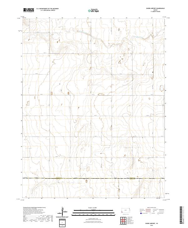
2022 Shore Airport
Stanton County, KS