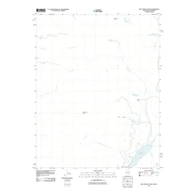
2010 Map of Big Costilla Peak
USGS Topo · Published 2010About this map
Big Costilla Peak dominates the high-altitude landscape of this Taos County survey, serving as a primary landmark for this mountainous border region between New Mexico and Colorado. The hydrology of the area is defined by the significant catchments of Costilla Reservoir and the Costilla Reservoir Dam in the southeast, which collect runoff from a network of alpine sources including Santistevan Creek and Allen Creek. The high-country drainage system is further detailed through features like Glacier Lakes, Seven Lakes, and sequentially named bodies such as Lake Number One and Lake Number Two.
Find a feature on this map
22 named features on this map. Tap any name to fly to it.
Don’t see what you’re looking for? This feature index may not catch every label — zoom into the map to look around manually.
Map Details
Editions of this 2010 Big Costilla Peak Map
This is the sole edition of this map. No revisions or reprints were ever made.
Other maps of this area

1954 · Raton
USGS Topo · 1:250,000

1954 · Trinidad
USGS Topo · 1:250,000

1955 · Trinidad
USGS Topo · 1:250,000

1958 · Raton
USGS Topo · 1:250,000

1958 · Trinidad
USGS Topo · 1:250,000

1959 · Trinidad
USGS Topo · 1:250,000

1962 · Ash Mountain
USGS Topo · 1:62,500

1963 · Amalia
USGS Topo · 1:24,000

1963 · Latir Peak
USGS Topo · 1:24,000

1963 · Comanche Point
USGS Topo · 1:24,000