
1963 Map of Latir Peak
USGS Topo · Published 1967About this map
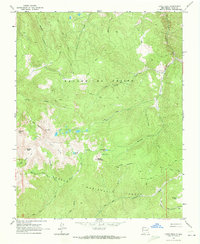
Latir Peak and the high alpine terrain of the Sangre de Cristo range dominate this 1963 field-checked survey. The landscape is defined by its glacial features and high-altitude water bodies, including Latir Lakes, Bear Lake, and Heart Lake. Much of the area is preserved within the Carson National Forest, where a network of pack trails and jeep trails provides the only access through deep drainages like Sanchez Canyon and Vallejos Creek. Human presence is sparse, limited to the isolated Baldy Cabin and scattered prospects that hint at the region's mineral history. The Grant Boundary cuts through the western peaks, marking a significant legal and historical demarcation in this high-desert mountain environment. Topographic detail captures the sharp relief between Latir Mesa and the surrounding summits like Venado Peak and Virsvylvia Peak.
Find a feature on this map
31 named features on this map. Tap any name to fly to it.
Don’t see what you’re looking for? This feature index may not catch every label — zoom into the map to look around manually.
Map Details
Editions of this 1963 Latir Peak Map
Other maps of this area

1954 · Raton
USGS Topo · 1:250,000

1958 · Raton
USGS Topo · 1:250,000

1963 · Costilla
USGS Topo · 1:24,000

1963 · Amalia
USGS Topo · 1:24,000

1963 · Red River Pass
USGS Topo · 1:24,000

1963 · Cerro
USGS Topo · 1:24,000

1963 · Questa
USGS Topo · 1:24,000

1963 · Comanche Point
USGS Topo · 1:24,000

1963 · Red River
USGS Topo · 1:24,000

1963 · Big Costilla Peak
USGS Topo · 1:24,000