
1963 Map of Costilla
USGS Topo · Published 1967About this map
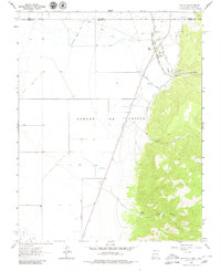
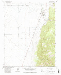
Costilla serves as the focal point for this 1963 survey, situated where the high desert meets the towering slopes of the Sangre De Cristo range. The settlement’s agricultural foundations are clearly visible through an intricate network of irrigation systems, including the Acequia Madre, Cerro Canal, and the Cordillera Ditch. These waterways, drawing from Costilla Creek, define the land use patterns along the border between Colorado and New Mexico.
Find a feature on this map
29 named features on this map. Tap any name to fly to it.
Don’t see what you’re looking for? This feature index may not catch every label — zoom into the map to look around manually.
Map Details
Editions of this 1963 Costilla Map
3 editions found
Other maps of this area

1954 · Raton
USGS Topo · 1:250,000

1954 · Trinidad
USGS Topo · 1:250,000

1955 · Trinidad
USGS Topo · 1:250,000

1958 · Raton
USGS Topo · 1:250,000

1958 · Trinidad
USGS Topo · 1:250,000

1959 · Trinidad
USGS Topo · 1:250,000

1963 · Amalia
USGS Topo · 1:24,000

1963 · Cerro
USGS Topo · 1:24,000

1963 · Ute Mountain
USGS Topo · 1:24,000

1963 · Sunshine
USGS Topo · 1:24,000