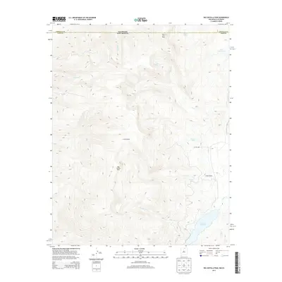
2013 Map of Big Costilla Peak
USGS Topo · Published 2013About this map
Big Costilla Peak dominates the high-altitude landscape of northern Taos County, where the border of New Mexico meets Colorado. This 2013 survey documents a complex system of mountain drainage and alpine lakes along the state line. Water from Glacier Lakes and Lake Number One feeds into high-elevation streams such as Casias Cr and Willow Cr, eventually flowing toward the Costilla Reservoir in the southern portion of the quadrangle. The topography is defined by significant elevation changes, ranging from the deep incisions of Long Canyon to the massive peak itself. The presence of Costilla Lodge near Beaver Lake suggests a localized focus for recreation or land management within this otherwise unpopulated mountain terrain. The map also captures the headwaters of numerous creeks, including Santistevan Cr and Jarocito Cr, illustrating the vital watershed role this region plays for the surrounding high desert plains.
Find a feature on this map
20 named features on this map. Tap any name to fly to it.
Don’t see what you’re looking for? This feature index may not catch every label — zoom into the map to look around manually.
Map Details
Editions of this 2013 Big Costilla Peak Map
This is the sole edition of this map. No revisions or reprints were ever made.
Other maps of this area

1954 · Raton
USGS Topo · 1:250,000

1954 · Trinidad
USGS Topo · 1:250,000

1955 · Trinidad
USGS Topo · 1:250,000

1958 · Raton
USGS Topo · 1:250,000

1958 · Trinidad
USGS Topo · 1:250,000

1959 · Trinidad
USGS Topo · 1:250,000

1962 · Ash Mountain
USGS Topo · 1:62,500

1963 · Amalia
USGS Topo · 1:24,000

1963 · Latir Peak
USGS Topo · 1:24,000

1963 · Comanche Point
USGS Topo · 1:24,000