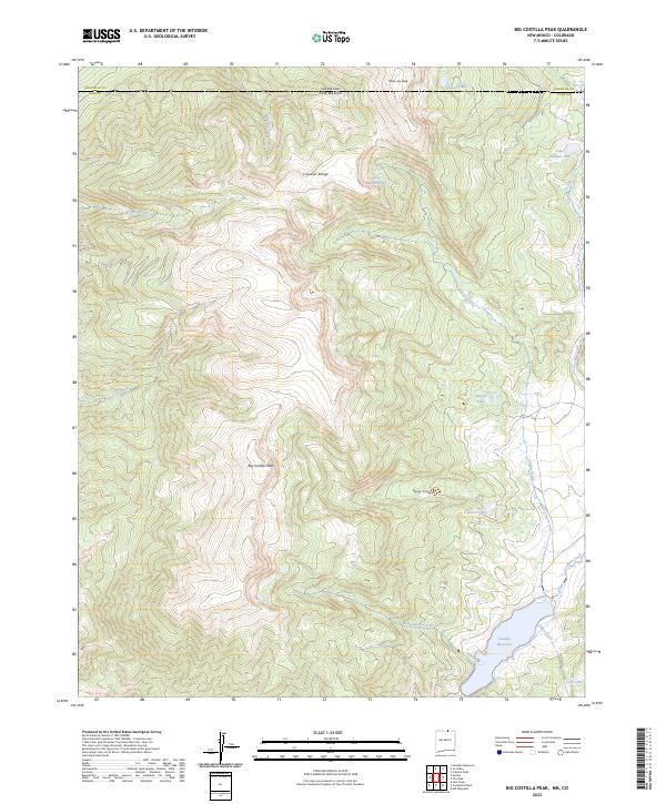
2023 Map of Big Costilla Peak
USGS Topo · Published 2023About this map
The high alpine country along the Colorado New Mexico border is defined here by the massive profile of the Culebra Range. This modern survey centers on Big Costilla Peak, a prominent summit in Taos County that anchors a landscape of steep drainages and isolated mountain waters. To the east and south, the drainage of Costilla Creek flows toward the large Costilla Reservoir, which captures snowmelt from the surrounding peaks. The area is dotted with numerous small high-altitude water bodies, including Glacier Lakes near the northern boundary and the cluster of Seven Lakes. The terrain transitions from the deep timber of Long Canyon to the rocky heights of State Line Peak, where the geography remains wild and largely undeveloped, save for the complex network of creeks like Santistevan Creek and Allen Creek that feed the lower reservoir.
Find a feature on this map
21 named features on this map. Tap any name to fly to it.
Don’t see what you’re looking for? This feature index may not catch every label — zoom into the map to look around manually.
Map Details
Editions of this 2023 Big Costilla Peak Map
This is the sole edition of this map. No revisions or reprints were ever made.
Other maps of this area

1954 · Raton
USGS Topo · 1:250,000

1954 · Trinidad
USGS Topo · 1:250,000

1955 · Trinidad
USGS Topo · 1:250,000

1958 · Raton
USGS Topo · 1:250,000

1958 · Trinidad
USGS Topo · 1:250,000

1959 · Trinidad
USGS Topo · 1:250,000

1962 · Ash Mountain
USGS Topo · 1:62,500

1963 · Amalia
USGS Topo · 1:24,000

1963 · Latir Peak
USGS Topo · 1:24,000

1963 · Comanche Point
USGS Topo · 1:24,000