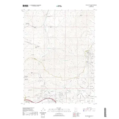
2020 Map of Big Dutch Hollow
USGS Topo · Published 2020About this map
The Wasatch Range dominates this portion of Summit County, where steep drainage networks like Big Dutch Hollow and Little Emigration Canyon define the high-country terrain. Historically significant routes cross these slopes, most notably the Mormon Trail, which winds through the western ridges toward the valley. The southern portion of the map shows modern residential expansion near Gogorza and Altus, with a dense network of suburban roads including Jeremy Ranch Road and Rasmussen Road encroaching on the mountain slopes.
Find a feature on this map
103 named features on this map. Tap any name to fly to it.
Don’t see what you’re looking for? This feature index may not catch every label — zoom into the map to look around manually.
Map Details
Editions of this 2020 Big Dutch Hollow Map
This is the sole edition of this map. No revisions or reprints were ever made.
Other maps of this area

1885 · Salt Lake
USGS Topo · 1:250,000

1900 · Coalville
USGS Topo · 1:125,000

1903 · Coalville
USGS Topo · 1:125,000

1925 · Ft. Douglas
USGS Topo · 1:125,000

1928 · Ft. Douglas
USGS Topo · 1:125,000

1954 · Salt Lake City
USGS Topo · 1:250,000

1955 · Park City East
USGS Topo · 1:24,000

1955 · Mount Aire
USGS Topo · 1:24,000

1955 · Park City West
USGS Topo · 1:24,000

1958 · Salt Lake City
USGS Topo · 1:250,000