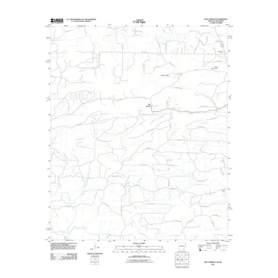
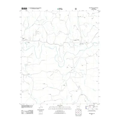
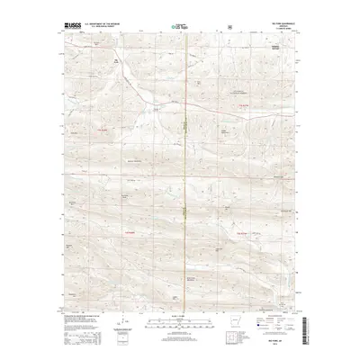
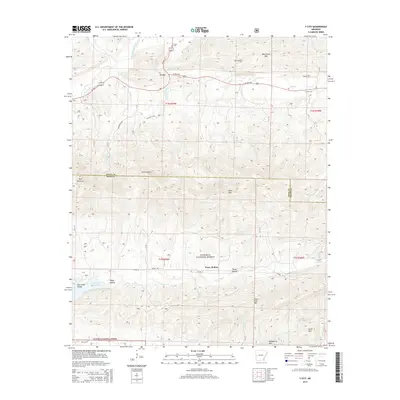
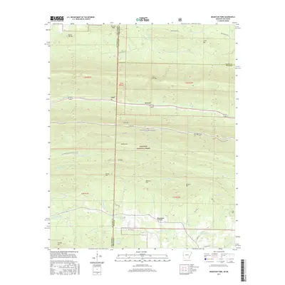
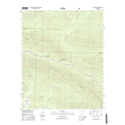
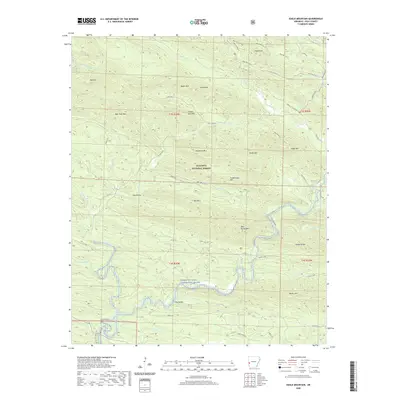
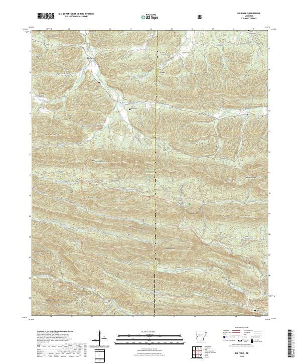
1980 Map of Big Fork
USGS Topo · Published 1981About this map
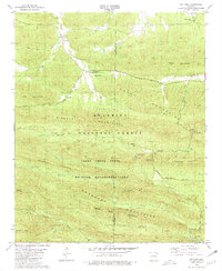
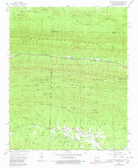
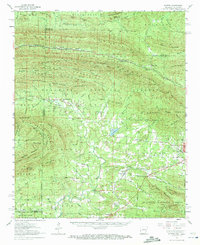
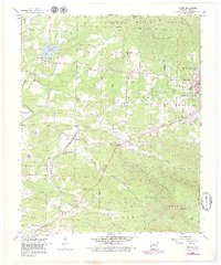
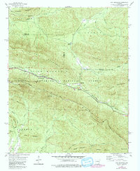
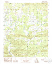
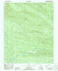
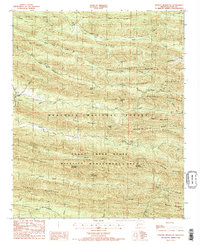
Big Fork serves as a central hub in this 1980 survey, where the Big Fork stream and Butcherknife Creek converge. The landscape is defined by the high ridges of the Caddo Mountains and Missouri Mountains, much of which is contained within the Ouachita National Forest. This era of the late 1970s shows a region dedicated to conservation and recreation, evidenced by the Caney Creek State Wildlife Management Area and the Little Missouri Falls Recreation Area. Local history is preserved in small family and community landmarks such as Pleasant Grove Cem near Abernathy Spring, and Huddleston Cem in the northeast corner near Sulphur Springs. The drainage patterns of the Little Missouri River and its various forks, including the Dry Fork and Straight Creek, illustrate the complex topography that historically isolated these mountain communities.
Find a feature on this map
46 named features on this map. Tap any name to fly to it.
Don’t see what you’re looking for? This feature index may not catch every label — zoom into the map to look around manually.
Map Details
Editions of this 1980 Big Fork Map
This is the sole edition of this map. No revisions or reprints were ever made.
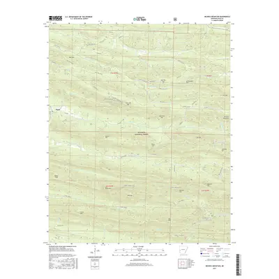
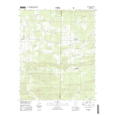
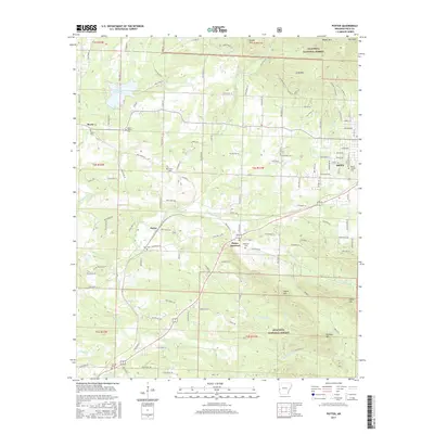
Historical Maps of Sulphur Springs Through Time
56 maps found
1958 Mountain Fork
Polk County, AR
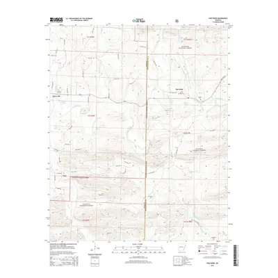
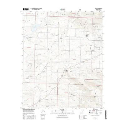
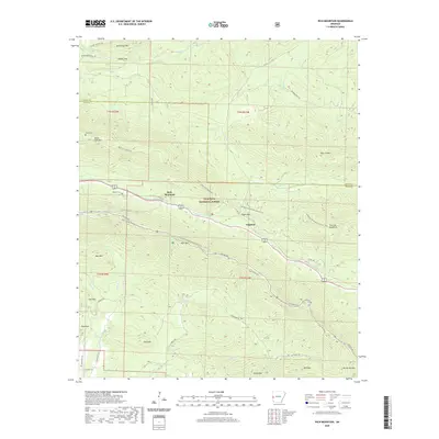
1958 Potter
Polk County, AR
1958 Potter
Polk County, AR
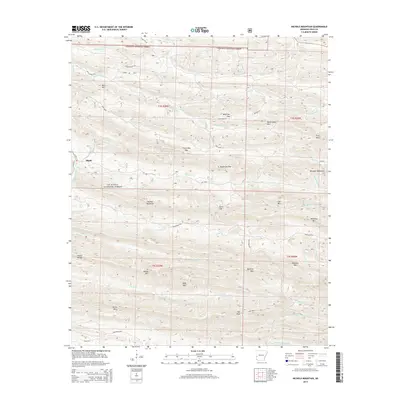
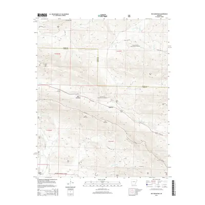
1958 Rich Mountain
Polk County, AR
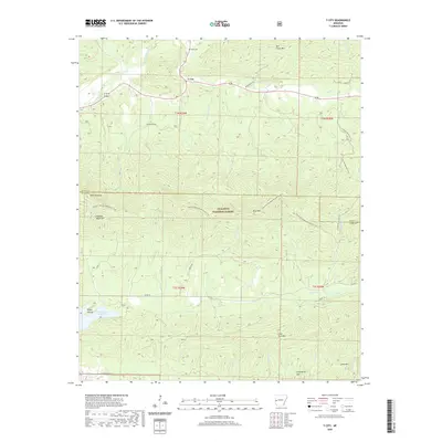
1958 Y City
Polk County, AR
1959 Umpire
Polk County, AR
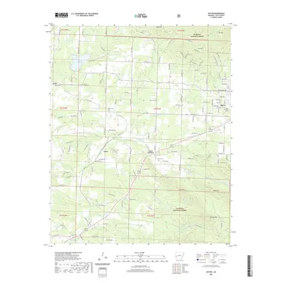
1980 Big Fork
Polk County, AR
1985 Bog Springs
Polk County, AR
1985 Pine Ridge
Polk County, AR
1986 Eagle Mountain
Polk County, AR
1986 Nichols Mountain
Polk County, AR
2011 Big Fork
Polk County, AR
2011 Bog Springs
Polk County, AR
2011 Eagle Mountain
Polk County, AR
2011 Mountain Fork
Polk County, AR
2011 Nichols Mountain
Polk County, AR
2011 Pine Ridge
Polk County, AR
2011 Potter
Polk County, AR
2011 Rich Mountain
Polk County, AR
2011 Y City
Polk County, AR
2014 Big Fork
Polk County, AR
2014 Bog Springs
Polk County, AR
2014 Eagle Mountain
Polk County, AR
2014 Mountain Fork
Polk County, AR
2014 Nichols Mountain
Polk County, AR
2014 Pine Ridge
Polk County, AR
2014 Potter
Polk County, AR
2014 Rich Mountain
Polk County, AR
2014 Y City
Polk County, AR
2017 Big Fork
Polk County, AR
2017 Bog Springs
Polk County, AR
2017 Eagle Mountain
Polk County, AR
2017 Mountain Fork
Polk County, AR
2017 Nichols Mountain
Polk County, AR
2017 Pine Ridge
Polk County, AR
2017 Potter
Polk County, AR
2017 Rich Mountain
Polk County, AR
2017 Y City
Polk County, AR
2020 Big Fork
Polk County, AR
2020 Bog Springs
Polk County, AR
2020 Eagle Mountain
Polk County, AR
2020 Mountain Fork
Polk County, AR
2020 Nichols Mountain
Polk County, AR
2020 Pine Ridge
Polk County, AR
2020 Potter
Polk County, AR
2020 Rich Mountain
Polk County, AR
2020 Y City
Polk County, AR
2024 Big Fork
Polk County, AR
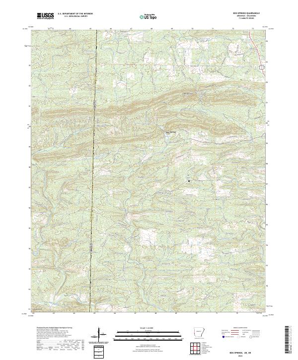
2024 Bog Springs
Polk County, AR
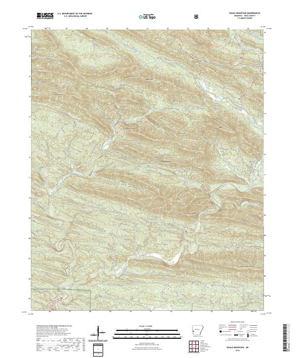
2024 Eagle Mountain
Polk County, AR
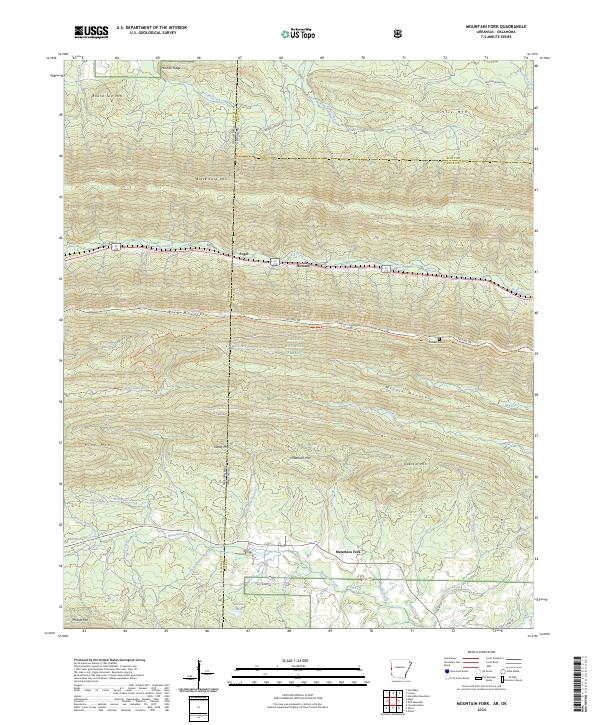
2024 Mountain Fork
Polk County, AR
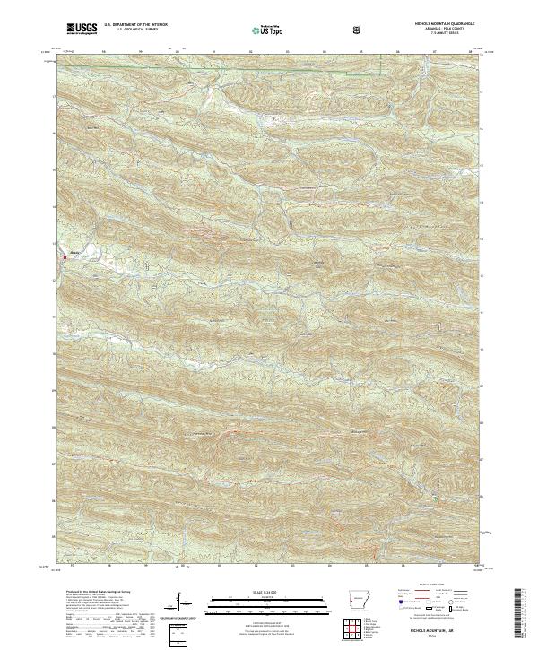
2024 Nichols Mountain
Polk County, AR
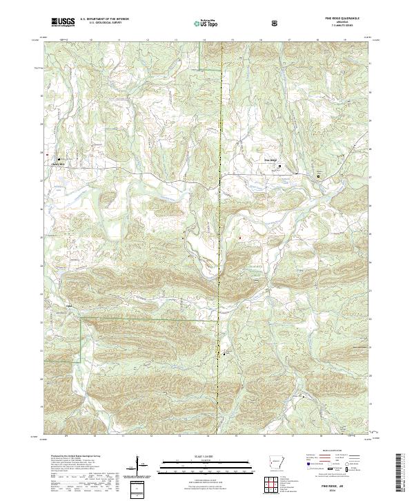
2024 Pine Ridge
Polk County, AR
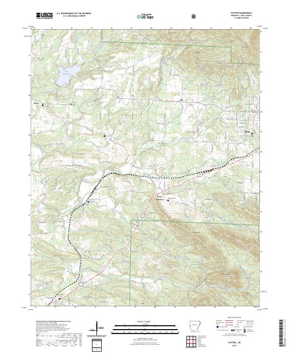
2024 Potter
Polk County, AR
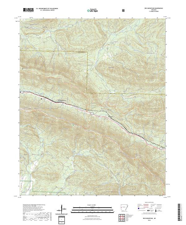
2024 Rich Mountain
Polk County, AR
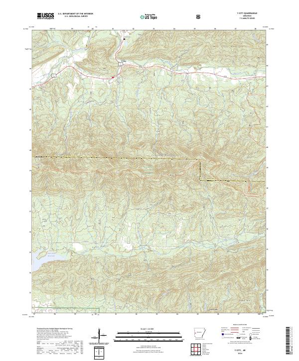
2024 Y City
Polk County, AR