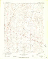
1970 Map of Big Gulch
USGS Topo · Published 1973About this map
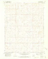
West Bijou Creek and its many tributaries, including Big Gulch and Spring Gulch, carve a complex drainage system through this high plains landscape in Elbert County. The 1970 field check reveals a rural environment where land use is primarily defined by ranching and resource extraction, evidenced by a solitary Claypit and a network of unimproved routes like Station Road and Freeze Road.
Find a feature on this map
12 named features on this map. Tap any name to fly to it.
Don’t see what you’re looking for? This feature index may not catch every label — zoom into the map to look around manually.
Map Details
Editions of this 1970 Big Gulch Map
2 editions found
Other maps of this area

1953 · Denver
USGS Topo · 1:250,000

1957 · Denver
USGS Topo · 1:250,000

1958 · Denver
USGS Topo · 1:250,000

1960 · Denver
USGS Topo · 1:250,000
1970 · Kiowa NE
USGS Topo · 1:24,000

1970 · Big Gulch
USGS Topo · 1:24,000
1970 · Fondis
USGS Topo · 1:24,000
1970 · Kiowa NW
USGS Topo · 1:24,000
1970 · Bijou SW
USGS Topo · 1:24,000
1970 · Bijou
USGS Topo · 1:24,000