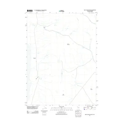
2011 Map of Big Hat Mountain
USGS Topo · Published 2011About this map
Long Ranch and Miller Ranch sit at the western base of the high desert terrain in Washoe County, defining the early 21st-century pastoral character of this Nevada-California border region. The landscape is dominated by Big Hat Mountain, with a network of vital water sources including Big Spring and Dip Spring supporting the isolated ranching operations. The presence of Crampton Troughs and various named springs like Rimrock Spring and Roe Deer Spring highlights the importance of water management in this arid environment. To the south, geological features such as The Craters and Black Canyon mark a transition in the topography, while the Black Canyon Reservoir and Long Lake provide significant catchment points for seasonal runoff from Bull Creek and Willow Creek.
Find a feature on this map
24 named features on this map. Tap any name to fly to it.
Don’t see what you’re looking for? This feature index may not catch every label — zoom into the map to look around manually.
Map Details
Editions of this 2011 Big Hat Mountain Map
This is the sole edition of this map. No revisions or reprints were ever made.
Other maps of this area

1886 · Alturas
USGS Topo · 1:250,000

1889 · Long Valley
USGS Topo · 1:250,000

1892 · Alturas
USGS Topo · 1:250,000

1954 · Vya
USGS Topo · 1:250,000

1954 · Alturas
USGS Topo · 1:250,000

1958 · Alturas
USGS Topo · 1:250,000

1958 · Vya
USGS Topo · 1:250,000

1962 · Alturas
USGS Topo · 1:250,000

1962 · Vya
USGS Topo · 1:250,000

1962 · Cedarville
USGS Topo · 1:62,500