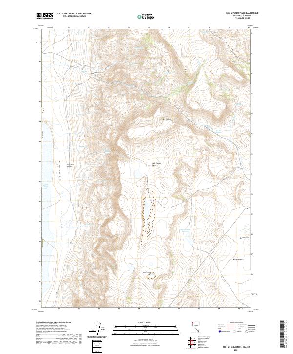
2021 Map of Big Hat Mountain
USGS Topo · Published 2021About this map
Hays Canyon Range dominates the high desert terrain of eastern Washoe County on this contemporary survey. The landscape is defined by its arid hydrology, marked by numerous isolated water sources such as Dip Spring, Rock Spring, and Rimrock Spring, which traditionally served as vital stopping points in this portion of the Great Basin. To the west, the basin floor of Surprise Valley contains the edge of Middle Alkali Lake, while the eastern uplands are carved by Black Canyon and protected by the Black Canyon Reservoir. The complex volcanic geology of the region is evident in The Craters, a series of distinct formations situated south of the prominent Big Hat Mtn summit. Navigational markers like Co RD 37 provide modern access through the high-elevation flats and canyons of the Boulder Flat area.
Find a feature on this map
30 named features on this map. Tap any name to fly to it.
Don’t see what you’re looking for? This feature index may not catch every label — zoom into the map to look around manually.
Map Details
Editions of this 2021 Big Hat Mountain Map
This is the sole edition of this map. No revisions or reprints were ever made.
Other maps of this area

1886 · Alturas
USGS Topo · 1:250,000

1889 · Long Valley
USGS Topo · 1:250,000

1892 · Alturas
USGS Topo · 1:250,000

1954 · Vya
USGS Topo · 1:250,000

1954 · Alturas
USGS Topo · 1:250,000

1958 · Alturas
USGS Topo · 1:250,000

1958 · Vya
USGS Topo · 1:250,000

1962 · Alturas
USGS Topo · 1:250,000

1962 · Vya
USGS Topo · 1:250,000

1962 · Cedarville
USGS Topo · 1:62,500