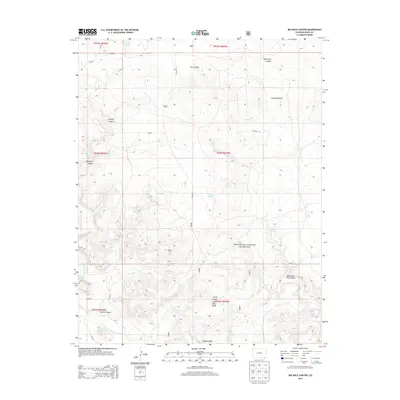
2013 Map of Big Hole Canyon
USGS Topo · Published 2013About this map
Comanche National Grassland encompasses a significant portion of this high plains landscape, where deep drainages and intermittent water sources define the geography of Baca County. The terrain is deeply incised by several prominent canyons, including Big Hole Canyon, Whitby Canyon, and Furnish Canyon, which carve through the arid plateaus toward the south. A network of crucial water points, such as Regnar Spring, Major Spring, and Trujillo Spring, highlights the historical importance of localized water access in this ranching country. Along the southern edge, Little Black Mesa stands as a distinct topographical landmark above Tharp Canyon. The map reveals a sparse but methodical road system, with routes like Co Road K and Road Canyon providing access through the canyons and across the grassland, following the public land survey system's grid.
Find a feature on this map
34 named features on this map. Tap any name to fly to it.
Don’t see what you’re looking for? This feature index may not catch every label — zoom into the map to look around manually.
Map Details
Editions of this 2013 Big Hole Canyon Map
This is the sole edition of this map. No revisions or reprints were ever made.
Other maps of this area

1891 · Springfield
USGS Topo · 1:125,000

1892 · Mt Carrizo
USGS Topo · 1:125,000

1893 · Springfield
USGS Topo · 1:125,000

1954 · Dalhart
USGS Topo · 1:250,000

1955 · La Junta
USGS Topo · 1:250,000

1958 · La Junta
USGS Topo · 1:250,000

1958 · Dalhart
USGS Topo · 1:250,000

1962 · Dalhart
USGS Topo · 1:250,000

1968 · La Junta
USGS Topo · 1:250,000

1968 · Kenton
USGS Topo · 1:24,000