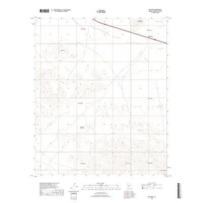
2018 Map of Big Horn
USGS Topo · Published 2018About this map
Big Horn sits at the northern edge of this high-desert landscape in southwestern Maricopa County, positioned along a major transit corridor that skirts the Maricopa Mountains. The terrain is defined by a series of prominent peaks and ranges, including the Sand Tank Mountains and Javelina Mtn to the south. Arid drainage patterns are evident through the course of Bender Wash, which winds through the basin floor between the uplands. This area, marked by its isolation and stark elevation changes, features isolated water sources such as Caesar Tank that were historically vital in such a dry environment. The presence of Maricopa Peak and the uniquely named Squaw Tits serve as significant navigational landmarks for those traversing the gaps between these desert ranges.
Find a feature on this map
15 named features on this map. Tap any name to fly to it.
Don’t see what you’re looking for? This feature index may not catch every label — zoom into the map to look around manually.
Map Details
Editions of this 2018 Big Horn Map
This is the sole edition of this map. No revisions or reprints were ever made.
Other maps of this area

1951 · Estrella
USGS Topo · 1:62,500

1951 · Gila Bend
USGS Topo · 1:62,500

1953 · Ajo
USGS Topo · 1:250,000

1957 · Ajo
USGS Topo · 1:250,000

1958 · Ajo
USGS Topo · 1:250,000

1958 · Kaka
USGS Topo · 1:62,500

1958 · Hat Mountain
USGS Topo · 1:62,500

1962 · Ajo
USGS Topo · 1:250,000

1963 · Ajo
USGS Topo · 1:250,000

1967 · Ajo
USGS Topo · 1:250,000