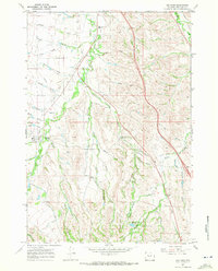
1967 Map of Big Horn
USGS Topo · Published 1972About this map
The settlement of Big Horn sits at the foot of the Bighorn Mountains in the late 1960s, defined by a complex network of irrigation infrastructure and rural homesteading. This survey highlights the critical role of water management in the Sheridan County landscape, featuring a dense web of historic canals such as the Gerdel Ditch, Burn Cleuch Ditch, and Ninemile Ditch. These waterways support the agricultural tracts of Parker Flat and McCormick Flat, where the State Bird Farm and various storage bins signify active land use.
Find a feature on this map
54 named features on this map. Tap any name to fly to it.
Don’t see what you’re looking for? This feature index may not catch every label — zoom into the map to look around manually.
Map Details
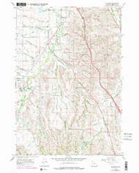
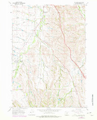
Editions of this 1967 Big Horn Map
3 editions found
Other maps of this area

1895 · Dayton
USGS Topo · 1:125,000

1901 · Dayton
USGS Topo · 1:125,000

1909 · Sheridan
USGS Topo · 1:125,000

1911 · Sheridan
USGS Topo · 1:125,000

1955 · Sheridan
USGS Topo · 1:250,000

1958 · Sheridan
USGS Topo · 1:250,000

1962 · Sheridan
USGS Topo · 1:250,000
1964 · Hultz Draw
USGS Topo · 1:24,000
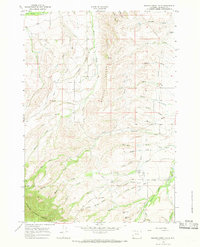
1964 · Beaver Creek Hills
USGS Topo · 1:24,000
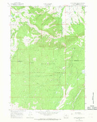
1965 · Little Goose Peak
USGS Topo · 1:24,000