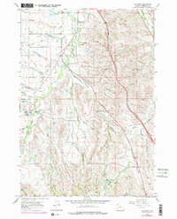
1967 Map of Big Horn
USGS Topo · Published 1978About this map
Big Horn serves as the focal point of this Sheridan County landscape, situated at the base of the eastern foothills. The 1960s terrain is defined by a complex network of irrigation infrastructure, including the Sackett Ditch, Parker Ditch, and Gerdel Ditch, which redirect water from Little Goose Creek and its tributaries to support local agriculture. This reliance on water management is evident in the numerous draws and gulches, such as McCormick Creek and Meade Creek, which carve through the undulating topography.
Find a feature on this map
50 named features on this map. Tap any name to fly to it.
Don’t see what you’re looking for? This feature index may not catch every label — zoom into the map to look around manually.
Map Details
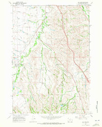
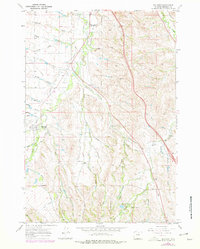
Editions of this 1967 Big Horn Map
3 editions found
Other maps of this area

1895 · Dayton
USGS Topo · 1:125,000

1901 · Dayton
USGS Topo · 1:125,000

1909 · Sheridan
USGS Topo · 1:125,000

1911 · Sheridan
USGS Topo · 1:125,000

1955 · Sheridan
USGS Topo · 1:250,000

1958 · Sheridan
USGS Topo · 1:250,000

1962 · Sheridan
USGS Topo · 1:250,000
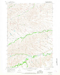
1964 · Hultz Draw
USGS Topo · 1:24,000
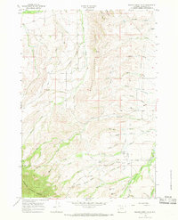
1964 · Beaver Creek Hills
USGS Topo · 1:24,000
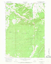
1965 · Little Goose Peak
USGS Topo · 1:24,000