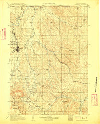
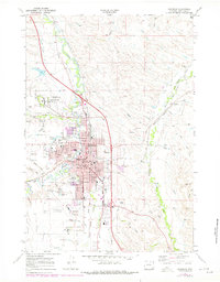
1911 Map of Sheridan
USGS Topo · Published 1911About this map
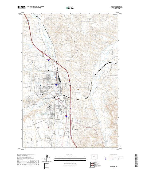
Sheridan serves as the focal point of this 1911 survey, showing the city at a pivotal moment of early development near the foot of the Bighorn Mountains. The Chicago Burlington and Quincy RR cuts a prominent diagonal path across the landscape, linking settlements such as Arno, Verona, and Ulm. To the north, the coal-mining influence is evident near Dietz, while Fort Mackenzie stands just outside the city limits.
Find a feature on this map
47 named features on this map. Tap any name to fly to it.
Don’t see what you’re looking for? This feature index may not catch every label — zoom into the map to look around manually.
Map Details
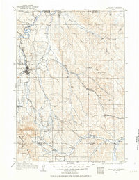
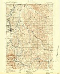
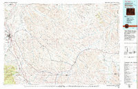
Editions of this 1911 Sheridan Map
2 editions found
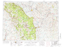
Historical Maps of Sheridan Through Time
11 maps found
1909 Sheridan
Sheridan County, WY
1911 Sheridan
Sheridan County, WY
1955 Sheridan
Sheridan County, WY

1958 Sheridan
Sheridan County, WY

1962 Sheridan
Sheridan County, WY
1968 Sheridan
Sheridan County, WY
1979 Sheridan
Sheridan County, WY
2012 Sheridan
Sheridan County, WY
2015 Sheridan
Sheridan County, WY
2017 Sheridan
Sheridan County, WY
2021 Sheridan
Sheridan County, WY