
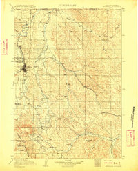
1909 Map of Sheridan
USGS Topo · Published 1954About this map
Sheridan serves as the focal point of this early 20th-century landscape, where the growing settlement is framed by the Bighorn Mountains to the west and the rolling Badger Hills to the north. This survey, based on data from 1898 and 1909, illustrates a critical period of development as the Chicago Burlington and Quincy RR cuts a path through the valley, linking rail stops like Arno, Verona, and Ulm. The map reveals an economy transitioning between military presence at Fort Mackenzie and a burgeoning agricultural and mining network, indicated by Dietz and several large homesteads.
Find a feature on this map
48 named features on this map. Tap any name to fly to it.
Don’t see what you’re looking for? This feature index may not catch every label — zoom into the map to look around manually.
Map Details
Editions of this 1909 Sheridan Map
2 editions found
Other maps of this area

1894 · Rosebud
USGS Topo · 1:125,000

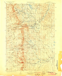
1895 · Dayton
USGS Topo · 1:125,000

1899 · Cloud peak
USGS Topo · 1:125,000

1900 · Fort McKinney
USGS Topo · 1:125,000

1901 · Rosebud
USGS Topo · 1:125,000
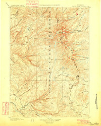
1901 · Cloud Peak
USGS Topo · 1:125,000

1901 · Dayton
USGS Topo · 1:125,000
1903 · Fort McKinney
USGS Topo · 1:125,000
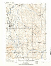
1911 · Sheridan
USGS Topo · 1:125,000

1954 · Hardin
USGS Topo · 1:250,000