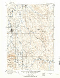
1909 Map of Sheridan
USGS Topo · Published 1963About this map
Sheridan serves as the focal point of this northern Wyoming landscape, where the Chicago Burlington and Quincy RR follows the drainage of Dutch Creek and Prairie Dog Creek. This era of the early twentieth century shows the region's development tied closely to its water sources and the expanding rail network, which links small outposts like Verona, Arno, and Ulm. To the northwest, the presence of Fort Mackenzie and the settlement of Dietz indicate military and industrial activity established near the state line.
Find a feature on this map
51 named features on this map. Tap any name to fly to it.
Don’t see what you’re looking for? This feature index may not catch every label — zoom into the map to look around manually.
Map Details
Editions of this 1909 Sheridan Map
2 editions found
Other maps of this area

1894 · Rosebud
USGS Topo · 1:125,000

1895 · Dayton
USGS Topo · 1:125,000

1899 · Cloud peak
USGS Topo · 1:125,000

1900 · Fort McKinney
USGS Topo · 1:125,000

1901 · Rosebud
USGS Topo · 1:125,000

1901 · Cloud Peak
USGS Topo · 1:125,000

1901 · Dayton
USGS Topo · 1:125,000

1903 · Fort McKinney
USGS Topo · 1:125,000

1909 · Sheridan
USGS Topo · 1:125,000

1911 · Sheridan
USGS Topo · 1:125,000