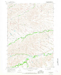
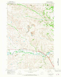
1964 Map of Hultz Draw
USGS Topo · Published 1968About this map
Big Goose Creek and Soldier Creek define the drainage patterns of this Sheridan County landscape in the mid-1960s, a region characterized by a complex network of draws and agricultural water management. The presence of the Big Goose Sch and a Mine near the creek's southern bend points to a rural community where education and resource extraction anchored local life. Significant water infrastructure is evident through the Alliance Ditch and the Colorado Colony Ditch, illustrating the area's reliance on managed irrigation for its high-plains agriculture.
Find a feature on this map
33 named features on this map. Tap any name to fly to it.
Don’t see what you’re looking for? This feature index may not catch every label — zoom into the map to look around manually.
Map Details
Editions of this 1964 Hultz Draw Map
3 editions found
Other maps of this area

1895 · Dayton
USGS Topo · 1:125,000

1901 · Dayton
USGS Topo · 1:125,000

1909 · Sheridan
USGS Topo · 1:125,000

1911 · Sheridan
USGS Topo · 1:125,000

1955 · Sheridan
USGS Topo · 1:250,000

1958 · Sheridan
USGS Topo · 1:250,000

1962 · Sheridan
USGS Topo · 1:250,000

1964 · Wolf
USGS Topo · 1:24,000
1964 · Ranchester
USGS Topo · 1:24,000
1964 · Monarch
USGS Topo · 1:24,000