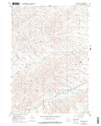
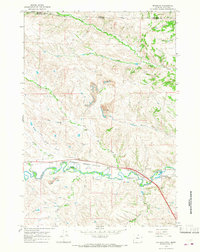
1964 Map of Hultz Draw
USGS Topo · Published 1978About this map
Big Goose Creek and its many tributaries, including Owl Creek and Soldier Creek, carve through this Sheridan County landscape as it appeared in the mid-1960s. The map reveals a rural environment transitioning toward managed recreation and utilities, notably seen at the Sheridan Municipal Golf Course and a nearby Military Reservation. Local education history is anchored by the Big Goose Sch, while the regional water infrastructure is clearly defined by the Colorado Colony Ditch and Alliance Ditch. Numerous family-named features like Hamma Draw, Gillispie Draw, and Jenkins Draw provide valuable clues for genealogists tracking land use and legacy in this portion of Wyoming. Topographical details from a 1963 survey are updated with 1976 aerial photography, capturing subtle shifts in the terrain and man-made structures such as a remote Radio Facility.
Find a feature on this map
31 named features on this map. Tap any name to fly to it.
Don’t see what you’re looking for? This feature index may not catch every label — zoom into the map to look around manually.
Map Details
Editions of this 1964 Hultz Draw Map
3 editions found
Other maps of this area

1895 · Dayton
USGS Topo · 1:125,000

1901 · Dayton
USGS Topo · 1:125,000

1909 · Sheridan
USGS Topo · 1:125,000

1911 · Sheridan
USGS Topo · 1:125,000

1955 · Sheridan
USGS Topo · 1:250,000

1958 · Sheridan
USGS Topo · 1:250,000

1962 · Sheridan
USGS Topo · 1:250,000

1964 · Wolf
USGS Topo · 1:24,000
1964 · Ranchester
USGS Topo · 1:24,000
1964 · Monarch
USGS Topo · 1:24,000