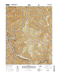
2016 Map of Big Island
USGS Topo · Published 2016About this map
The James River carves a deep path through the Blue Ridge Mountains along the border of Amherst and Bedford counties, creating a landscape defined by dramatic elevation changes and historical river-based industry. The iconic Blue Ridge Parkway winds across the high ridges, passing Otter Lake and crossing the heights near Peavine Mtn. At the river's edge, the communities of Big Island and Coleman Falls center around the water, which is harnessed by the Big Island Reservoir and Colemans Fall Reservoir.
Find a feature on this map
66 named features on this map. Tap any name to fly to it.
Don’t see what you’re looking for? This feature index may not catch every label — zoom into the map to look around manually.
Map Details
Editions of this 2016 Big Island Map
This is the sole edition of this map. No revisions or reprints were ever made.
Other maps of this area

1892 · Lynchburg
USGS Topo · 1:125,000

1894 · Lexington
USGS Topo · 1:125,000

1935 · Buena Vista
USGS Topo · 1:48,000

1935 · Amherst
USGS Topo · 1:48,000

1939 · Amherst
USGS Topo · 1:62,500

1939 · Buena Vista
USGS Topo · 1:62,500

1940 · Buena Vista
USGS Topo · 1:62,500

1944 · Lynchburg
USGS Topo · 1:62,500

1947 · Roanoke
USGS Topo · 1:250,000

1950 · Goode
USGS Topo · 1:62,500