
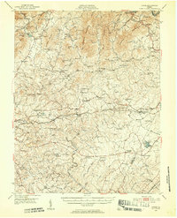
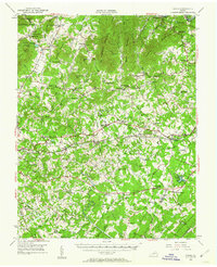
1950 Map of Goode
USGS Topo · Published 1952About this map
Poplar Forest sits south of the Norfolk and Western rail line, anchoring a mid-century landscape where Virginia’s Piedmont begins its ascent toward the Blue Ridge. This 1950 field-checked survey captures a dense network of rural infrastructure, including dozens of country churches and schools such as Altha Grove Ch and New London Academy. The terrain is defined by prominent peaks like No Business Mountain and Fleming Mountain, which overlook the winding course of the Big Otter River. The southern edge of the map shows the transition from Bedford into Campbell County, centered around the settlement of New London. This map is particularly notable for its documentation of historical estates and the intersection of the Southern and Norfolk and Western railroads, providing a clear record of the area's mid-century transportation and community hubs.
Find a feature on this map
87 named features on this map. Tap any name to fly to it.
Don’t see what you’re looking for? This feature index may not catch every label — zoom into the map to look around manually.
Map Details
Editions of this 1950 Goode Map
3 editions found
Other maps of this area

1890 · Roanoke
USGS Topo · 1:125,000

1891 · Roanoke
USGS Topo · 1:125,000

1892 · Lynchburg
USGS Topo · 1:125,000

1894 · Natural Bridge
USGS Topo · 1:125,000

1894 · Lexington
USGS Topo · 1:125,000

1894 · Natural Bridge
USGS Topo · 1:62,500

1907 · Natural Bridge Special
USGS Topo · 1:62,500

1935 · Buena Vista
USGS Topo · 1:48,000

1935 · Amherst
USGS Topo · 1:48,000

1939 · Amherst
USGS Topo · 1:62,500