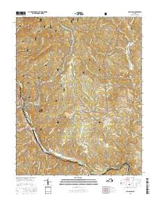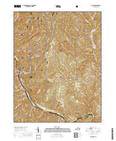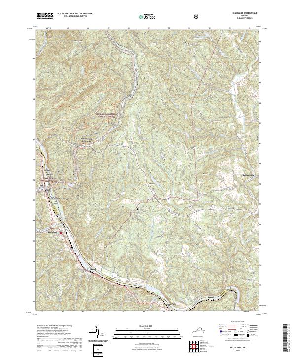
2022 Map of Big Island
USGS Topo · Published 2022About this map
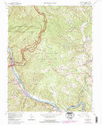
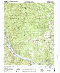
The James River carves a deep valley along the boundary of Amherst and Bedford counties, serving as the topographical anchor for this Central Virginia landscape. The river corridor is flanked by the George Washington National Forest to the north and the Jefferson National Forest to the south, with the Blue Ridge Parkway winding along the high ridges. This survey illustrates a rural mountain economy where small communities like Big Island and Pedlar Mills are connected by winding historic routes such as the Buffalo Springs Tpke and Waughs Ferry Rd.
Find a feature on this map
75 named features on this map. Tap any name to fly to it.
Don’t see what you’re looking for? This feature index may not catch every label — zoom into the map to look around manually.
Map Details
Editions of this 2022 Big Island Map
This is the sole edition of this map. No revisions or reprints were ever made.
Historical Maps of Waugh Through Time
7 maps found