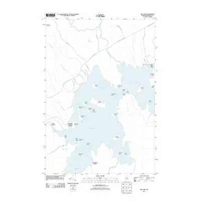
2011 Map of Big Lake
USGS Topo · Published 2011About this map
Big Lake dominates this portion of Washington County, its intricate shoreline defined by numerous points and islands that have likely served as seasonal landmarks for generations. The eastern shore is marked by the settlement at Peter Dana Point, where Saint Annes Cemetery is situated. The mapping of various access points like Gould Landing, Greenlaw Chopping Landing, and Red Beach Landing illustrates the water-centric lifestyle and economy of this Maine interior.
Find a feature on this map
51 named features on this map. Tap any name to fly to it.
Don’t see what you’re looking for? This feature index may not catch every label — zoom into the map to look around manually.
Map Details
Editions of this 2011 Big Lake Map
This is the sole edition of this map. No revisions or reprints were ever made.
Other maps of this area

1940 · Waite
USGS Topo · 1:62,500

1941 · Scraggly Lake
USGS Topo · 1:62,500

1941 · Big Lake
USGS Topo · 1:62,500

1941 · Wabassus Lake
USGS Topo · 1:62,500

1942 · Waite
USGS Topo · 1:62,500

1943 · Big Lake
USGS Topo · 1:62,500

1943 · Wabassus Lake
USGS Topo · 1:62,500

1944 · Scraggly Lake
USGS Topo · 1:62,500

1952 · Big Lake
USGS Topo · 1:50,000

1953 · Wabassus Lake
USGS Topo · 1:62,500
Featured Places
- Princeton, ME
- Indian Township / Motahkomikuk, ME
- Grand Lake Stream, ME
- Gould Landing, Greenlaw Chopping Township
- Big Lake Township, ME