
1943 Map of Wabassus Lake
USGS Topo · Published 1943About this map
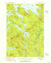
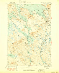
The Machias River drainage system dominates this portion of Washington County, where a complex network of glacial lakes and portages defined the region's movement and industry in the early 1940s. The settlement of Grand Lake Stream serves as a primary hub near the northern reaches of the quadrangle, while smaller outposts like The Birches, Holland Camp, and Knox Lake Camp indicate the area's history as a remote wilderness for logging and sporting.
Find a feature on this map
132 named features on this map. Tap any name to fly to it.
Don’t see what you’re looking for? This feature index may not catch every label — zoom into the map to look around manually.
Map Details
Editions of this 1943 Wabassus Lake Map
3 editions found
Other maps of this area

1929 · Lead Mountain
USGS Topo · 1:48,000

1931 · Springfield
USGS Topo · 1:48,000

1932 · Nicatous Lake
USGS Topo · 1:48,000

1932 · Lead Mountain
USGS Topo · 1:62,500

1934 · Nicatous Lake
USGS Topo · 1:62,500

1934 · Springfield
USGS Topo · 1:62,500

1940 · Waite
USGS Topo · 1:62,500

1941 · Scraggly Lake
USGS Topo · 1:62,500

1941 · Wesley
USGS Topo · 1:62,500

1941 · Tug Mountain
USGS Topo · 1:62,500