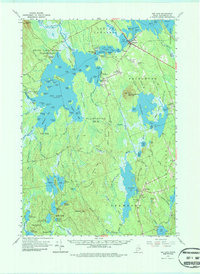
1963 Map of Big Lake
USGS Topo · Published 1987About this map
Indian Township and the Grand Lake Stream Plantation define this landscape of interconnected waterways in eastern Maine. The village of Princeton sits at the northern end of a vast lake system, serving as a hub between Lewy Lake and Long Lake. The map reveals a community deeply tied to its geography, with the Town Hall and Princeton Airport situated near the town center. Further south, the settlement of Crawford remains clustered near the shores of Crawford Lake, surrounded by prominent heights like Pocomoonshine Mountain and Harmon Mtn. The region's reliance on its natural resources is visible in the network of flowages and streams, such as the Huntley Brook Flowage and East Machias River, which once facilitated local timber and water-powered industries. Genealogists can find several burial grounds, including Lakeview Cem and Old Crawford Cem, marking the early family foundations of these lakeside townships.
Find a feature on this map
95 named features on this map. Tap any name to fly to it.
Don’t see what you’re looking for? This feature index may not catch every label — zoom into the map to look around manually.
Map Details
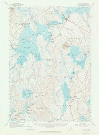
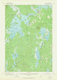
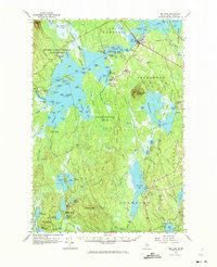
Editions of this 1963 Big Lake Map
4 editions found
Other maps of this area

1929 · Calais
USGS Topo · 1:48,000

1932 · Calais
USGS Topo · 1:62,500

1940 · Waite
USGS Topo · 1:62,500

1940 · Kellyland
USGS Topo · 1:62,500

1941 · Scraggly Lake
USGS Topo · 1:62,500

1941 · Wesley
USGS Topo · 1:62,500

1941 · Gardner Lake
USGS Topo · 1:62,500

1941 · Tug Mountain
USGS Topo · 1:62,500

1941 · Big Lake
USGS Topo · 1:62,500

1941 · Wabassus Lake
USGS Topo · 1:62,500