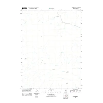
2011 Map of Big Mountain
USGS Topo · Published 2011About this map
Big Mountain dominates this arid landscape in Humboldt County, where water sources determine the layout of the high desert terrain. This 2011 survey captures a network of vital springs and intermittent drainages, including Mustang Springs, Opal Spring, and Cancer Spring. The reliance on local hydrology is evident in features like Paiute Windmill and the Bawling Calf Reservoir, which serve as critical infrastructure in a region otherwise defined by its sharp relief. From the heights of the Black Rock Range to the depths of Copper Canyon, the map traces the natural watercourses of Paiute Creek and Indian Creek. These features illustrate the sparse but essential points of contact between the environment and human activity, connected primarily by the solitary stretch of Leonard Creek Rd.
Find a feature on this map
21 named features on this map. Tap any name to fly to it.
Don’t see what you’re looking for? This feature index may not catch every label — zoom into the map to look around manually.
Map Details
Editions of this 2011 Big Mountain Map
This is the sole edition of this map. No revisions or reprints were ever made.
Other maps of this area

1886 · Disaster
USGS Topo · 1:250,000

1889 · Long Valley
USGS Topo · 1:250,000

1893 · Disaster
USGS Topo · 1:250,000

1954 · Vya
USGS Topo · 1:250,000

1958 · Vya
USGS Topo · 1:250,000

1962 · Vya
USGS Topo · 1:250,000

1972 · Mud Meadow
USGS Topo · 1:24,000

1972 · Soldier Meadow
USGS Topo · 1:24,000

1972 · Burnt Springs
USGS Topo · 1:24,000

1972 · Big Mountain
USGS Topo · 1:24,000