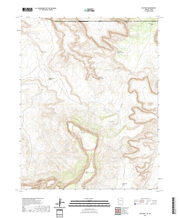
2021 Map of Big Point
USGS Topo · Published 2021About this map
Big Point rises as a prominent landmark in this high-desert landscape situated along the border of Arizona and Utah. The map focuses on the dramatic verticality of the Navajo Nation's terrain, defined by the massive Skeleton Mesa to the south and Nokai Mesa to the northwest. Erosion has carved deep, winding drainage systems through the sandstone, most notably the Begashinitani Canyon and the branching corridors of the West Fork Copper Canyon and East Fork Copper Canyon. Human presence is minimal, represented primarily by the isolated stretch of Bowsley Rd and the crossing of the Navajo and San Juan county lines. Large geological features like the Todicheenie Bench and Hoskinnini Mesa dominate the survey, illustrating the complex topography of the Four Corners region before the modern era's encroachment.
Find a feature on this map
16 named features on this map. Tap any name to fly to it.
Don’t see what you’re looking for? This feature index may not catch every label — zoom into the map to look around manually.
Map Details
Editions of this 2021 Big Point Map
This is the sole edition of this map. No revisions or reprints were ever made.
Other maps of this area

1883 · Marsh Pass
USGS Topo · 1:250,000

1886 · Henry Mountains
USGS Topo · 1:250,000

1892 · Marsh Pass
USGS Topo · 1:250,000

1892 · Henry Mountains
USGS Topo · 1:250,000

1952 · Clay Hills 3 SE
USGS Topo · 1:24,000

1952 · Shato Spring 1 NE
USGS Topo · 1:24,000

1952 · Agathla Peak 2 SW
USGS Topo · 1:24,000

1952 · Agathla Peak 2 NW
USGS Topo · 1:24,000

1952 · Boot Mesa
USGS Topo · 1:62,500

1952 · Clay Hills 3 SW
USGS Topo · 1:24,000