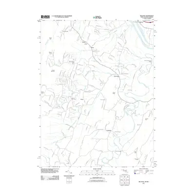
2011 Map of Big Pool
USGS Topo · Published 2011About this map
Back Creek and Tilhance Creek define the drainage of this area in the panhandle of West Virginia, where the terrain transitions from the heights of Hedges Mountain and Short Mountain toward the wide Potomac River. The landscape is a network of small, established rural communities such as Johnsontown, Tomahawk, and Baxter, each anchored by historical local landmarks. Genealogists will find a high density of family-centric burial sites including Snyders Cemetery, Pittman Cemetery, and Riner Cemetery scattered across the ridge-and-valley topography.
Find a feature on this map
153 named features on this map. Tap any name to fly to it.
Don’t see what you’re looking for? This feature index may not catch every label — zoom into the map to look around manually.
Map Details
Editions of this 2011 Big Pool Map
This is the sole edition of this map. No revisions or reprints were ever made.
Other maps of this area

1884 · Harpers Ferry
USGS Topo · 1:125,000

1891 · Harpers Ferry
USGS Topo · 1:125,000

1893 · Harpers Ferry
USGS Topo · 1:125,000

1894 · Winchester
USGS Topo · 1:125,000

1899 · Hancock
USGS Topo · 1:62,500

1901 · Hancock
USGS Topo · 1:62,500

1912 · Williamsport
USGS Topo · 1:62,500

1914 · Martinsburg
USGS Topo · 1:48,000

1914 · Gerrardstown
USGS Topo · 1:48,000

1916 · Gerrardstown
USGS Topo · 1:62,500