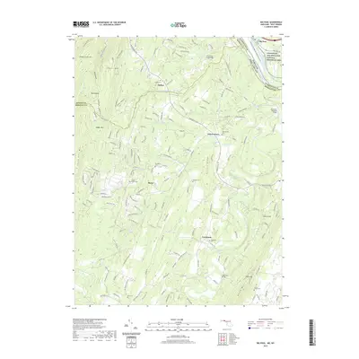
2019 Map of Big Pool
USGS Topo · Published 2019About this map
The Potomac River carves a winding path along the northern boundary of this landscape, separating the rugged ridge-and-valley terrain of West Virginia from Maryland. This area is characterized by a series of prominent peaks, including Sleepy Creek Mtn, Hedges Mtn, and North Mtn, which define the agricultural and residential pockets below. The small settlement of Tomahawk serves as a local hub, surrounded by several family and community burial grounds such as Tomahawk Cem and Butler Chapel Cem.
Find a feature on this map
173 named features on this map. Tap any name to fly to it.
Don’t see what you’re looking for? This feature index may not catch every label — zoom into the map to look around manually.
Map Details
Editions of this 2019 Big Pool Map
This is the sole edition of this map. No revisions or reprints were ever made.
Other maps of this area

1884 · Harpers Ferry
USGS Topo · 1:125,000

1891 · Harpers Ferry
USGS Topo · 1:125,000

1893 · Harpers Ferry
USGS Topo · 1:125,000

1894 · Winchester
USGS Topo · 1:125,000

1899 · Hancock
USGS Topo · 1:62,500

1901 · Hancock
USGS Topo · 1:62,500

1912 · Williamsport
USGS Topo · 1:62,500

1914 · Martinsburg
USGS Topo · 1:48,000

1914 · Gerrardstown
USGS Topo · 1:48,000

1916 · Gerrardstown
USGS Topo · 1:62,500