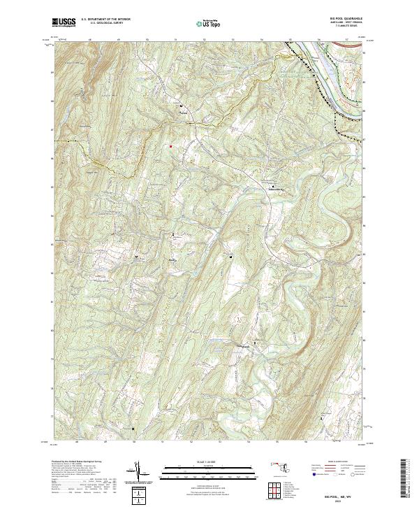
2023 Map of Big Pool
USGS Topo · Published 2023About this map
Potomac River crossings and mountain ridges define this borderland where Maryland and West Virginia meet. The Chesapeake and Ohio Canal National Historical Park follows the northern river bank, passing Big Pool and the site of Runners Ferry. On the West Virginia side, the terrain rises sharply into Sleepy Creek Mtn and Third Hill Mountain, framing a landscape dotted with small rural settlements and family burial grounds. Researchers can trace the layout of Johnsontown and Tomahawk, both of which serve as focal points for local genealogy with landmarks like the Johnsontown Church of the Brethren Cem and Tomahawk Cem. The map documents the intricate drainage of Back Creek and Tilhance Creek as they cut through Ferrell Ridge, illustrating the historical reliance on these water gaps for local travel.
Find a feature on this map
193 named features on this map. Tap any name to fly to it.
Don’t see what you’re looking for? This feature index may not catch every label — zoom into the map to look around manually.
Map Details
Editions of this 2023 Big Pool Map
This is the sole edition of this map. No revisions or reprints were ever made.
Other maps of this area

1884 · Harpers Ferry
USGS Topo · 1:125,000

1891 · Harpers Ferry
USGS Topo · 1:125,000

1893 · Harpers Ferry
USGS Topo · 1:125,000

1894 · Winchester
USGS Topo · 1:125,000

1899 · Hancock
USGS Topo · 1:62,500

1901 · Hancock
USGS Topo · 1:62,500

1912 · Williamsport
USGS Topo · 1:62,500

1914 · Martinsburg
USGS Topo · 1:48,000

1914 · Gerrardstown
USGS Topo · 1:48,000

1916 · Gerrardstown
USGS Topo · 1:62,500