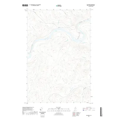
2021 Map of Big Rapids
USGS Topo · Published 2021About this map
The Saint John River anchors this northern Maine landscape, winding through a series of significant whitewater features including Big Rapids, Poplar Island Rapids, and Fox Brook Rapids. The intricate drainage network of Aroostook County is visible through numerous named tributaries like Poplar Island Brook, Walker Brook, and the divergent paths of N Br W Twin Brook and S Br W Twin Brook. Historically significant transport routes, such as Old School House Rd and Michaud-Tote Rd, hint at the logging and local infrastructure that once supported this remote river corridor. The topography is defined by the steep valleys surrounding Brown Brook and Hafford Brook, illustrating the challenging environment of the Maine woods before modern development reached the area.
Find a feature on this map
23 named features on this map. Tap any name to fly to it.
Don’t see what you’re looking for? This feature index may not catch every label — zoom into the map to look around manually.
Map Details
Editions of this 2021 Big Rapids Map
This is the sole edition of this map. No revisions or reprints were ever made.
Other maps of this area

1930 · Allagash
USGS Topo · 1:48,000

1932 · Allagash Falls
USGS Topo · 1:48,000

1933 · Allagash
USGS Topo · 1:62,500

1935 · Allagash Falls
USGS Topo · 1:62,500

1954 · Presque Isle
USGS Topo · 1:250,000

1955 · Rocky Mountain
USGS Topo · 1:62,500

1955 · Round Pond
USGS Topo · 1:62,500

1956 · Allagash Falls
USGS Topo · 1:50,000

1958 · Presque Isle
USGS Topo · 1:250,000

1960 · Presque Isle
USGS Topo · 1:250,000