2023 Map of Big Run
USGS Topo · Published 2023About this map
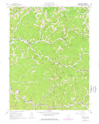
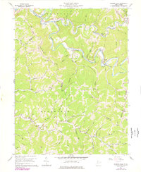
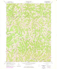
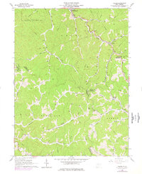
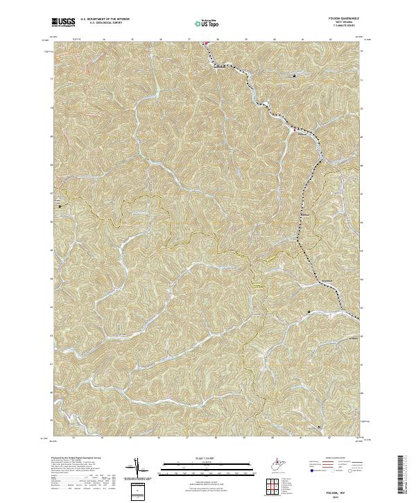
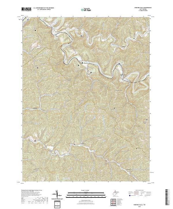
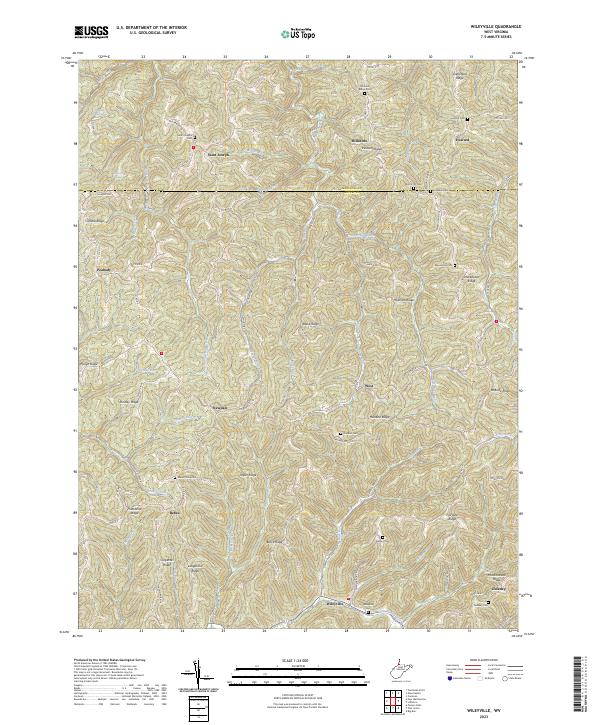
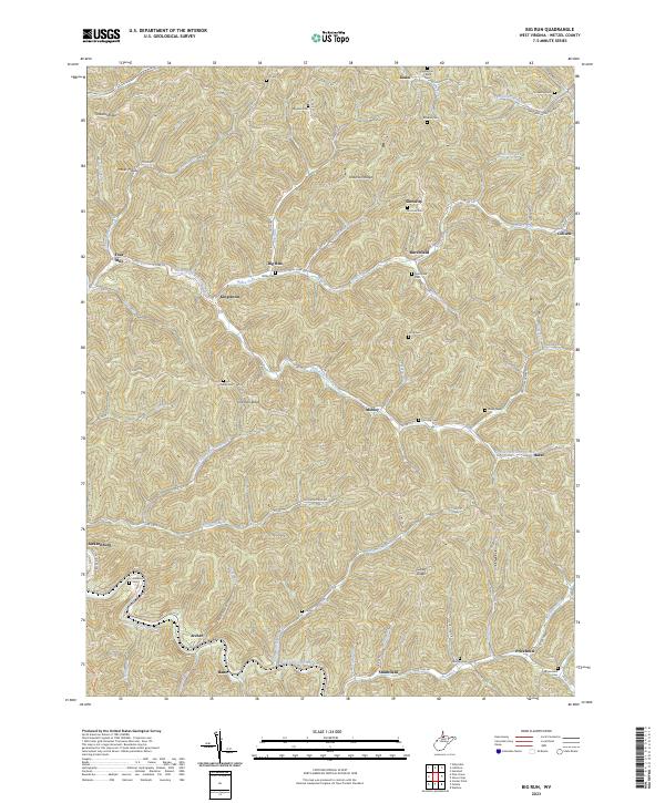
North Fork Fishing Creek and its many tributaries, including Willey Fork and Haymond Run, define the deeply dissected landscape of this Wetzel County region. The 2023 survey documents a network of small settlements such as Kingstown, Mobley, and Burchfield that follow the winding valley floors between prominent high points like Anderson Ridge and Lowman Ridge. For genealogists, the map is remarkably detailed in its recording of family and community burial grounds, including the Shuman Cem, Kilcoyne Cem, and Anderson Bane Cem. The transition from the rural village of Smithfield in the south to the northern reaches of Kodol reveals a settlement pattern dictated by the steep drainages of Fallen Timber Run and South Fork Fishing Creek, where narrow roads like Preachers Dream Rd and Aunty Run Rd connect isolated homesteads and ridge-top crossings.
Find a feature on this map
97 named features on this map. Tap any name to fly to it.
Don’t see what you’re looking for? This feature index may not catch every label — zoom into the map to look around manually.
Map Details
Editions of this 2023 Big Run Map
This is the sole edition of this map. No revisions or reprints were ever made.
Historical Maps of Archer Through Time
9 maps found