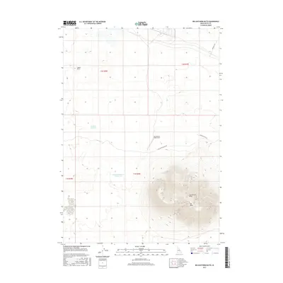
2017 Map of Big Southern Butte
USGS Topo · Published 2017About this map
Big Southern Butte dominates the southeastern quadrant of this Idaho landscape, rising sharply above the surrounding plain. This massive volcanic feature is the focal point of the area, housing vital water sources like Frenchmans Spring and Webb Spring on its upper slopes. The map reveals a land managed for both aviation and water conservation, evidenced by the Big Southern Butte Airport situated on the flatter terrain to the north and the nearby Big Butte Reservoir.
Find a feature on this map
15 named features on this map. Tap any name to fly to it.
Don’t see what you’re looking for? This feature index may not catch every label — zoom into the map to look around manually.
Map Details
Editions of this 2017 Big Southern Butte Map
This is the sole edition of this map. No revisions or reprints were ever made.
Other maps of this area

1955 · Idaho Falls
USGS Topo · 1:250,000

1958 · Idaho Falls
USGS Topo · 1:250,000

1972 · Quaking Aspen Butte
USGS Topo · 1:24,000

1972 · Arco Hills SE
USGS Topo · 1:24,000

1972 · Big Southern Butte
USGS Topo · 1:24,000

1972 · Butte City
USGS Topo · 1:24,000

1972 · Sunset Lake
USGS Topo · 1:24,000

1972 · Serviceberry Butte
USGS Topo · 1:24,000

1973 · Scoville
USGS Topo · 1:24,000

1973 · Rock Butte
USGS Topo · 1:24,000