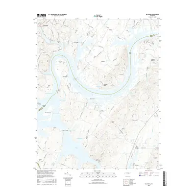
2016 Map of Big Spring
USGS Topo · Published 2016About this map
Dayton and the meandering Tennessee River define this corner of Rhea and Meigs counties, where a complex network of sloughs and bends shapes the landscape. The river's path is marked by distinctive features such as Armstrong Bend, Gillespie Bend, and the wide waters of Dallas Lake. Land access to these riverine points is traced via The Culbert Bridge and Rattan Bridge.
Find a feature on this map
145 named features on this map. Tap any name to fly to it.
Don’t see what you’re looking for? This feature index may not catch every label — zoom into the map to look around manually.
Map Details
Editions of this 2016 Big Spring Map
This is the sole edition of this map. No revisions or reprints were ever made.
Other maps of this area

1886 · Cleveland
USGS Topo · 1:125,000

1887 · Kingston
USGS Topo · 1:125,000

1888 · Chattanooga
USGS Topo · 1:125,000

1891 · Kingston
USGS Topo · 1:125,000

1892 · Pikeville
USGS Topo · 1:125,000

1892 · Cleveland
USGS Topo · 1:125,000

1893 · Chattanooga
USGS Topo · 1:125,000

1893 · Kingston
USGS Topo · 1:125,000

1895 · Cleveland
USGS Topo · 1:125,000

1895 · Pikeville
USGS Topo · 1:125,000