
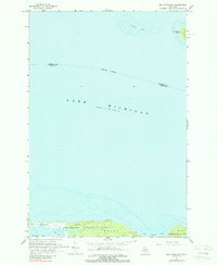
1964 Map of Big Stone Bay
USGS Topo · Published 1965About this map
Wilderness State Park dominates the southern coastline of this maritime survey, stretching across the northern tip of the Lower Peninsula where the shoreline transitions between Sturgeon Bay and the wide reach of Big Stone Bay. The map records a complex coastal environment of marshes and points, notably Waugoshance Point and Goose Bay, which define the intricate interface between land and water.
Find a feature on this map
12 named features on this map. Tap any name to fly to it.
Don’t see what you’re looking for? This feature index may not catch every label — zoom into the map to look around manually.
Map Details
Editions of this 1964 Big Stone Bay Map
2 editions found
Other maps of this area

1931 · Moran NE
USGS Topo · 1:31,680

1948 · Moran NE
USGS Topo · 1:31,680

1948 · Moran NW
USGS Topo · 1:31,680

1955 · Cheboygan
USGS Topo · 1:250,000

1958 · Cheboygan
USGS Topo · 1:250,000

1958 · Cross Village
USGS Topo · 1:62,500

1958 · Pellston
USGS Topo · 1:62,500
1964 · Moran
USGS Topo · 1:24,000
1964 · Pointe Aux Chenes
USGS Topo · 1:24,000
1964 · McGulpin Point
USGS Topo · 1:24,000