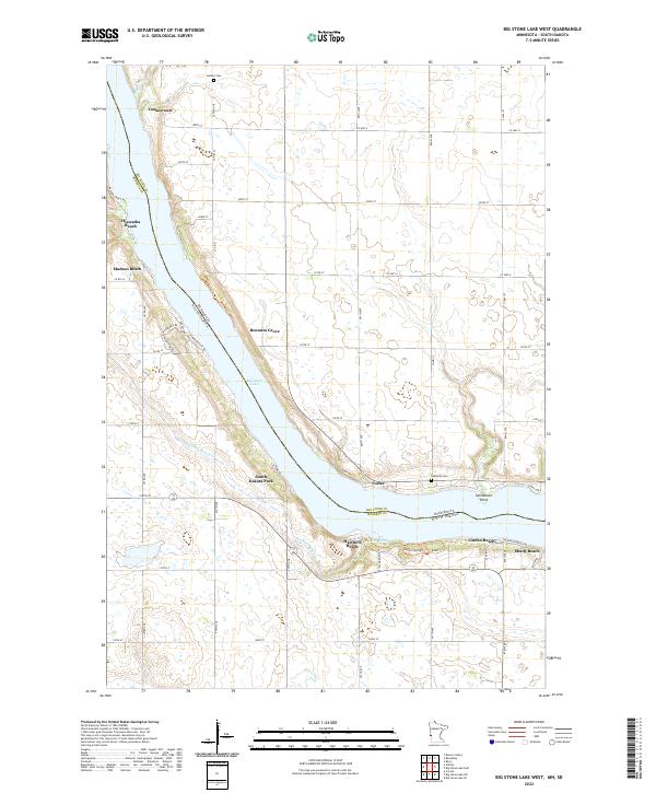
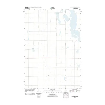
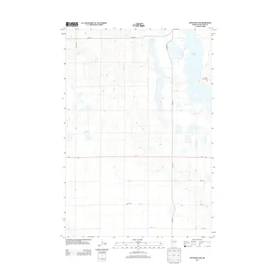
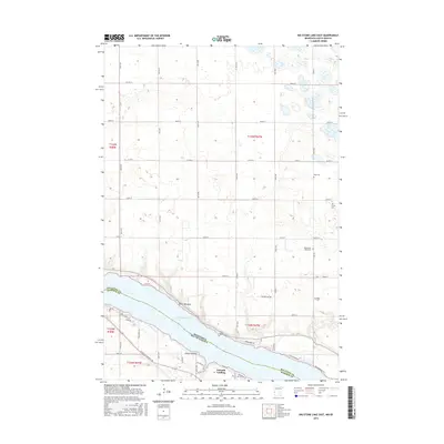
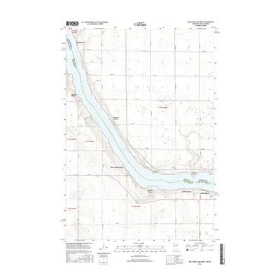
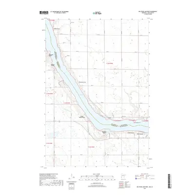
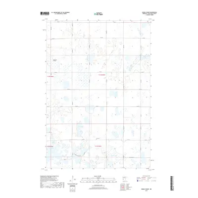
2022 Map of Big Stone Lake West
USGS Topo · Published 2022About this map
Big Stone Lake serves as the central focal point of this regional landscape, defining the border between Minnesota and South Dakota. Along its eastern and western banks, a series of recreational and residential clusters reflect the area's long-standing draw for lakeside living. These include Yankeetown, Hiawatha Beach, and Madsen Beach on the Minnesota side, while the South Dakota shoreline is punctuated by Hartford Beach and South Dakota Park.
Find a feature on this map
45 named features on this map. Tap any name to fly to it.
Don’t see what you’re looking for? This feature index may not catch every label — zoom into the map to look around manually.
Map Details
Editions of this 2022 Big Stone Lake West Map
This is the sole edition of this map. No revisions or reprints were ever made.
Historical Maps of Foster Through Time
24 maps found
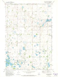
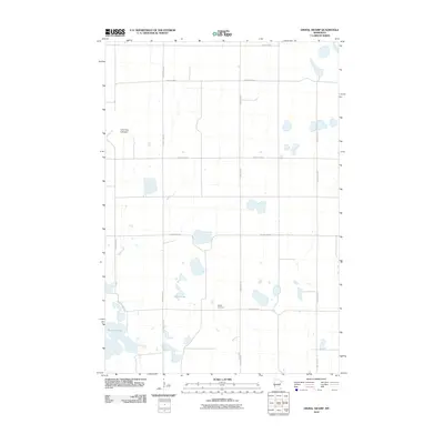
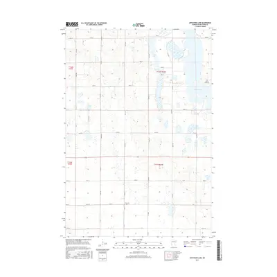
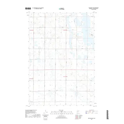
1968 Artichoke Lake
Big Stone County, MN
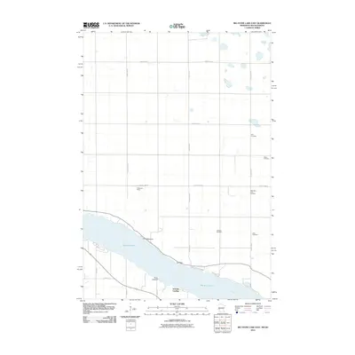
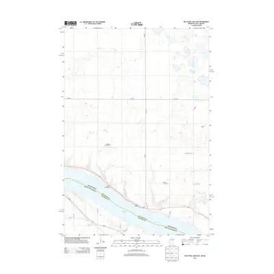
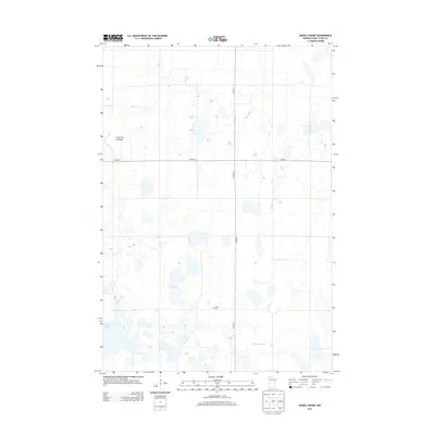
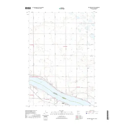
1971 Big Stone Lake East
Big Stone County, MN
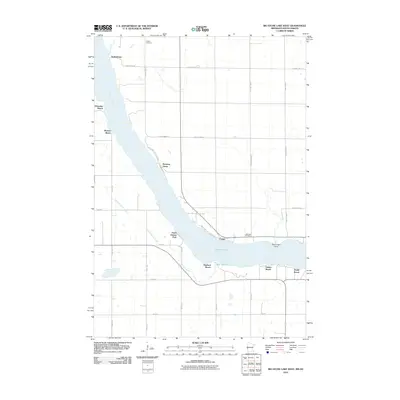
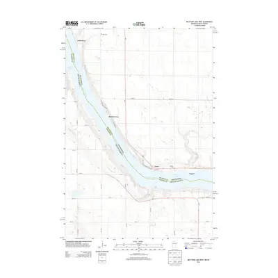
1971 Big Stone Lake West
Big Stone County, MN
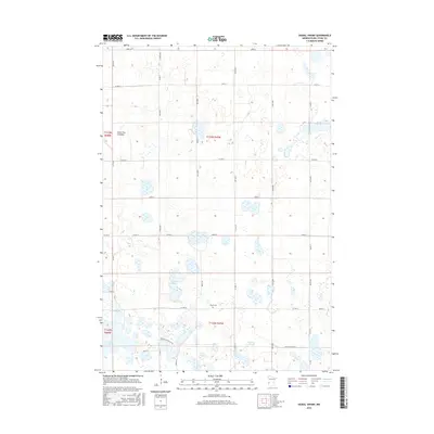
1971 Dismal Swamp
Big Stone County, MN
2010 Artichoke Lake
Big Stone County, MN
2010 Big Stone Lake East
Big Stone County, MN
2010 Big Stone Lake West
Big Stone County, MN
2010 Dismal Swamp
Big Stone County, MN
2013 Artichoke Lake
Big Stone County, MN
2013 Big Stone Lake East
Big Stone County, MN
2013 Big Stone Lake West
Big Stone County, MN
2013 Dismal Swamp
Big Stone County, MN
2016 Artichoke Lake
Big Stone County, MN
2016 Big Stone Lake East
Big Stone County, MN
2016 Big Stone Lake West
Big Stone County, MN
2016 Dismal Swamp
Big Stone County, MN
2019 Artichoke Lake
Big Stone County, MN
2019 Big Stone Lake East
Big Stone County, MN
2019 Big Stone Lake West
Big Stone County, MN
2019 Dismal Swamp
Big Stone County, MN
2022 Artichoke Lake
Big Stone County, MN
2022 Big Stone Lake East
Big Stone County, MN
2022 Big Stone Lake West
Big Stone County, MN
2022 Dismal Swamp
Big Stone County, MN